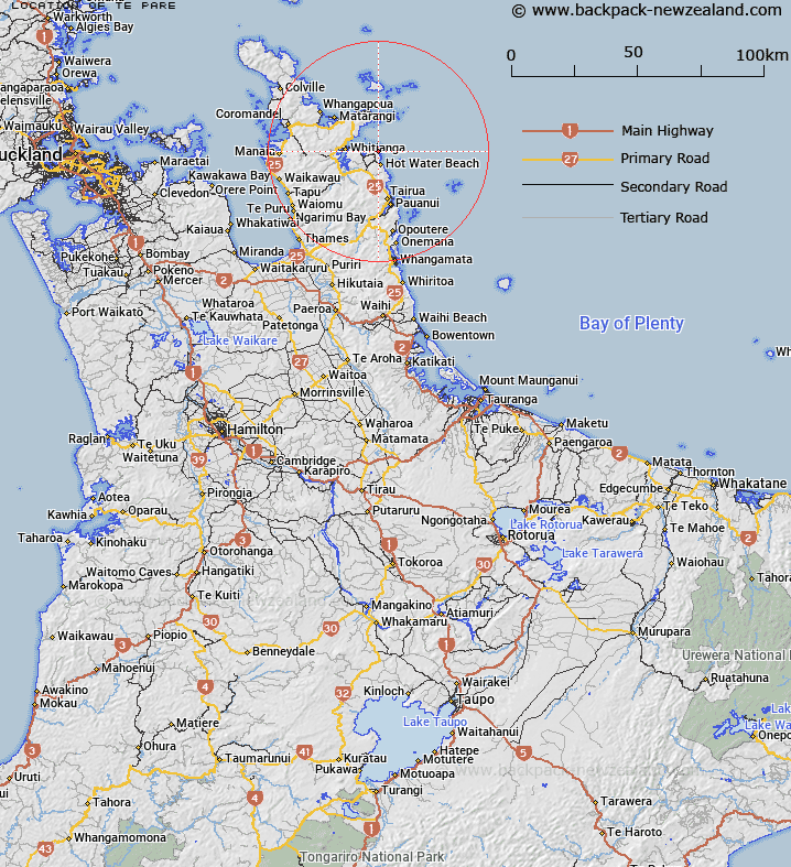
Map showing location of Te Pare
LINZ description: Hill and Trig. Station 119 (Geodetic Code B5VD) South-east of Hahei locality, 350m South-west of Hereheretaura Point. Block XII Otama Survey District.
Latitude: -36.844127
Longitude: 175.817177
Northing: 5918714
Easting: 1851200.8
Land District: South Auckland
Feat Type: Trig Station
Latitude: -36.844127
Longitude: 175.817177
Northing: 5918714
Easting: 1851200.8
Land District: South Auckland
Feat Type: Trig Station

Scroll down to see a more detailed road map and below that a topographical map showing the location of Te Pare. The road map has been supplied by openstreetmap and the topographical map of Te Pare has been supplied by Land Information New Zealand (LINZ).
Yes you can use the top static map for you school/university project or personal website with a link back. Contact me for any commercial use.
[ A ] [ B ] [ C ] [ D ] [ E ] [ F ] [ G ] [ H ] [ I ] [ J ] [ K ] [ L ] [ M ] [ N ] [ O ] [ P ] [ Q ] [ R ] [ S ] [ T ] [ U ] [ V ] [ W ] [ X ] [ Y ] [ Z ]