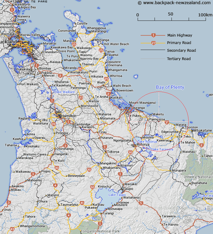
Map showing location of Te Pare


LINZ description: Approximately 20km north of Lake Rotoehu.
Latitude: -37.846088
Longitude: 176.5559
Northing: 5805300
Easting: 1912900
Land District: South Auckland
Feat Type: Trig Station


Scroll down to see a more detailed road map and below that a topographical map showing the location of Te Pare. The road map has been supplied by openstreetmap and the topographical map of Te Pare has been supplied by Land Information New Zealand (LINZ).

Yes you can use the top static map for you school/university project or personal website with a link back. Contact me for any commercial use.

Te Pare Map New Zealand


New Zealand places in our database
[ A ] [ B ] [ C ] [ D ] [ E ] [ F ] [ G ] [ H ] [ I ] [ J ] [ K ] [ L ] [ M ] [ N ] [ O ] [ P ] [ Q ] [ R ] [ S ] [ T ] [ U ] [ V ] [ W ] [ X ] [ Y ] [ Z ]


Closest 20 Trig Stations to Te Pare

Pakotore ( 14.46km )   Pakotare ( 14.46km )   Tiekerereao ( 20.35km )   Tiekerero ( 20.35km )   Taumatamiri ( 45.26km )   Taumatamiere ( 45.26km )   Te Kauranga ( 54.52km )   Takaurunga ( 54.52km )   Patawa ( 55.47km )   Pataua ( 55.47km )   Ngakuru ( 62.08km )   Poutakataka ( 62.08km )   Wharekauanga ( 64.99km )   Wharekaunga ( 64.99km )   Langmuir ( 67.94km )   New Mangawhero ( 67.94km )   Puketurua ( 68.55km )   Puketuaroa ( 68.55km )   Ngakuriawhare ( 70.03km )   Ngakuriawharei ( 70.03km )   Maungawhiorangi ( 70.44km )   Tawhiwhau ( 71.3km )   Tawhiuau ( 71.3km )   Oiraraorao ( 72.69km )   Tarakeho ( 78km )   Tarakeha ( 78km )   Kioronui ( 78.83km )   Kiorenui ( 78.83km )   Pukeahua ( 81.28km )   Te Pakera ( 87.33km )   Te Pakora ( 87.33km )   Maraonui ( 88.2km )   Maroanui ( 88.2km )   Te Atuahautapu ( 89.2km )   Te Atua Ahutapu ( 89.2km )   Ngapuketurua ( 91km )   Ngapukeriki ( 91km )   Motuhora ( 94.21km )   Moutohora ( 94.21km )   Tutaengarahu ( 95.32km )