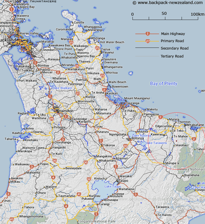
Map showing location of Taumatamiere
LINZ description: Trig station, Geodetic code B6T5, in the Ikawhenua Range, at the heads of the Mangapapa, Taumatamiere, and Kotorenui Streams. Rangitaiki Lower Survey District.
Latitude: -38.16606
Longitude: 176.875127
Northing: 5768659.1
Easting: 1939518.9
Land District: South Auckland
Feat Type: Trig Station
Latitude: -38.16606
Longitude: 176.875127
Northing: 5768659.1
Easting: 1939518.9
Land District: South Auckland
Feat Type: Trig Station

Scroll down to see a more detailed road map and below that a topographical map showing the location of Taumatamiere. The road map has been supplied by openstreetmap and the topographical map of Taumatamiere has been supplied by Land Information New Zealand (LINZ).
Yes you can use the top static map for you school/university project or personal website with a link back. Contact me for any commercial use.
[ A ] [ B ] [ C ] [ D ] [ E ] [ F ] [ G ] [ H ] [ I ] [ J ] [ K ] [ L ] [ M ] [ N ] [ O ] [ P ] [ Q ] [ R ] [ S ] [ T ] [ U ] [ V ] [ W ] [ X ] [ Y ] [ Z ]