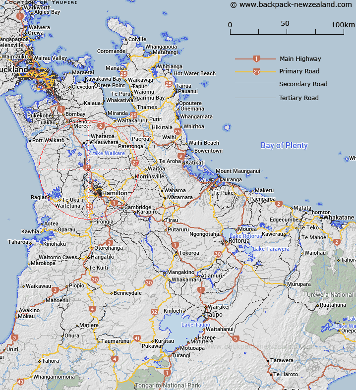
Map showing location of Taupiri
LINZ description: Hill with unbeaconed trig to south of Taupiri Stream, located on Skyline Track adjacent to Whanganui River (geodetic code: AK5K)
Latitude: -37.602876
Longitude: 175.185237
Northing: 5836000
Easting: 1792900
Land District: South Auckland
Feat Type: Trig Station
Latitude: -37.602876
Longitude: 175.185237
Northing: 5836000
Easting: 1792900
Land District: South Auckland
Feat Type: Trig Station

Scroll down to see a more detailed road map and below that a topographical map showing the location of Taupiri. The road map has been supplied by openstreetmap and the topographical map of Taupiri has been supplied by Land Information New Zealand (LINZ).
Yes you can use the top static map for you school/university project or personal website with a link back. Contact me for any commercial use.
[ A ] [ B ] [ C ] [ D ] [ E ] [ F ] [ G ] [ H ] [ I ] [ J ] [ K ] [ L ] [ M ] [ N ] [ O ] [ P ] [ Q ] [ R ] [ S ] [ T ] [ U ] [ V ] [ W ] [ X ] [ Y ] [ Z ]