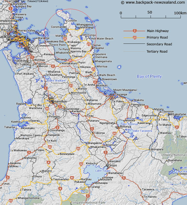
Map showing location of Tawhitirahi
LINZ description: Hill and Trig. Station Y (Geodetic Code B5V9), in the northern end of the Coromandel Range. Now Tawhitirahi No 2 (Geodetic Code B1R7). 5.5km South-east of Te Kouma locality. Blocks X and XIV Coromandel Survey District.
Latitude: -36.834878
Longitude: 175.531535
Northing: 5920453.8
Easting: 1825753
Land District: South Auckland
Feat Type: Trig Station
Latitude: -36.834878
Longitude: 175.531535
Northing: 5920453.8
Easting: 1825753
Land District: South Auckland
Feat Type: Trig Station

Scroll down to see a more detailed road map and below that a topographical map showing the location of Tawhitirahi. The road map has been supplied by openstreetmap and the topographical map of Tawhitirahi has been supplied by Land Information New Zealand (LINZ).
Yes you can use the top static map for you school/university project or personal website with a link back. Contact me for any commercial use.
[ A ] [ B ] [ C ] [ D ] [ E ] [ F ] [ G ] [ H ] [ I ] [ J ] [ K ] [ L ] [ M ] [ N ] [ O ] [ P ] [ Q ] [ R ] [ S ] [ T ] [ U ] [ V ] [ W ] [ X ] [ Y ] [ Z ]