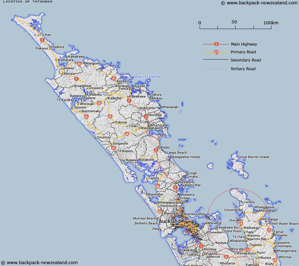
Map showing location of Tataweka


LINZ description: Found on Tataweka Island in Manaia Harbour.
Latitude: -36.840251
Longitude: 175.426841
Northing: 5920100
Easting: 1816400
Land District: North Auckland
Feat Type: Trig Station


Scroll down to see a more detailed road map and below that a topographical map showing the location of Tataweka. The road map has been supplied by openstreetmap and the topographical map of Tataweka has been supplied by Land Information New Zealand (LINZ).

Yes you can use the top static map for you school/university project or personal website with a link back. Contact me for any commercial use.

Tataweka Map New Zealand


New Zealand places in our database
[ A ] [ B ] [ C ] [ D ] [ E ] [ F ] [ G ] [ H ] [ I ] [ J ] [ K ] [ L ] [ M ] [ N ] [ O ] [ P ] [ Q ] [ R ] [ S ] [ T ] [ U ] [ V ] [ W ] [ X ] [ Y ] [ Z ]


Closest 20 Trig Stations to Tataweka

Tawhitirahi ( 9.34km )   Pukewharareke ( 9.79km )   Stony Batter Trig Station ( 24.44km )   Stony Batten Trig Station ( 24.44km )   Te Pare ( 34.74km )   Pauanui ( 45.3km )   Tairua ( 45.3km )   Pukeotahinga ( 74.82km )   Ngakuriawhare ( 80.81km )   Ngakuriawharei ( 80.81km )   Ninepins ( 85.33km )   Ninepin ( 85.33km )   Nine Pins ( 85.33km )   Paehoka ( 86.12km )   Taupiri ( 87.46km )   Mangawai ( 107.74km )   Mangawhai ( 107.74km )   Te Rokotai ( 112.47km )   New Mangawhero ( 117.66km )   Langmuir ( 117.66km )   Puketuaroa ( 122.43km )   Puketurua ( 122.43km )   Kumete Bluff ( 123.85km )   Takaurunga ( 124.14km )   Te Kauranga ( 124.14km )   Pouraika ( 131.33km )   Ligars ( 131.33km )   Pakotare ( 141.39km )   Pakotore ( 141.39km )   Tiheroa ( 143.97km )   Tihiroa ( 143.97km )   Tiekerero ( 146.23km )   Tiekerereao ( 146.23km )   Te Whauotemarama ( 147.42km )   Te Pari ( 149.9km )   Te Pareoterawahirua ( 149.9km )   Te Pare ( 149.9km )   Te Whiro ( 158.17km )   Ruaroa ( 165.1km )   Maungatawhiri ( 165.25km )