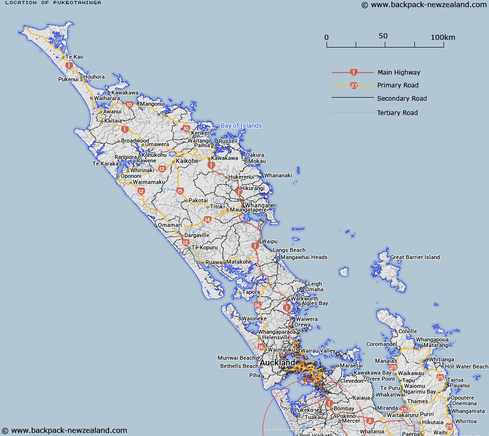
Map showing location of Pukeotahinga


LINZ description: South of the Waikato River between Port Waikato and Onewhero south of Te Kohanga at 310m height Geodetic code 1320.
Latitude: -37.337207
Longitude: 174.858087
Northing: 5866100
Easting: 1764600
Land District: North Auckland
Feat Type: Trig Station


Scroll down to see a more detailed road map and below that a topographical map showing the location of Pukeotahinga. The road map has been supplied by openstreetmap and the topographical map of Pukeotahinga has been supplied by Land Information New Zealand (LINZ).

Yes you can use the top static map for you school/university project or personal website with a link back. Contact me for any commercial use.

Pukeotahinga Map New Zealand


New Zealand places in our database
[ A ] [ B ] [ C ] [ D ] [ E ] [ F ] [ G ] [ H ] [ I ] [ J ] [ K ] [ L ] [ M ] [ N ] [ O ] [ P ] [ Q ] [ R ] [ S ] [ T ] [ U ] [ V ] [ W ] [ X ] [ Y ] [ Z ]


Closest 20 Trig Stations to Pukeotahinga

Taupiri ( 41.31km )   Ninepins ( 44.77km )   Ninepin ( 44.77km )   Nine Pins ( 44.77km )   Ligars ( 65.41km )   Pouraika ( 65.41km )   Stony Batten Trig Station ( 69.18km )   Stony Batter Trig Station ( 69.18km )   Tataweka ( 74.82km )   Paehoka ( 77.99km )   Pukewharareke ( 80.7km )   Te Whauotemarama ( 81.61km )   Tawhitirahi ( 81.78km )   Tiheroa ( 91.61km )   Tihiroa ( 91.61km )   Pauanui ( 96.02km )   Tairua ( 96.02km )   Ngakuriawhare ( 97.71km )   Ngakuriawharei ( 97.71km )   New Mangawhero ( 100.04km )   Langmuir ( 100.04km )   Te Pare ( 101.21km )   Puketuaroa ( 102.77km )   Puketurua ( 102.77km )   Hepipi ( 105.95km )   Heipipi ( 105.95km )   Te Rokotai ( 109.04km )   Takaurunga ( 112.57km )   Te Kauranga ( 112.57km )   Mount Misery ( 128.96km )   Kumete Bluff ( 131.63km )   Mangawai ( 135.01km )   Mangawhai ( 135.01km )   Pakotare ( 146.84km )   Pakotore ( 146.84km )   Tiekerero ( 147.11km )   Tiekerereao ( 147.11km )   Parikawau ( 147.15km )   Mauiui ( 156.26km )   Pukeahua ( 157.83km )