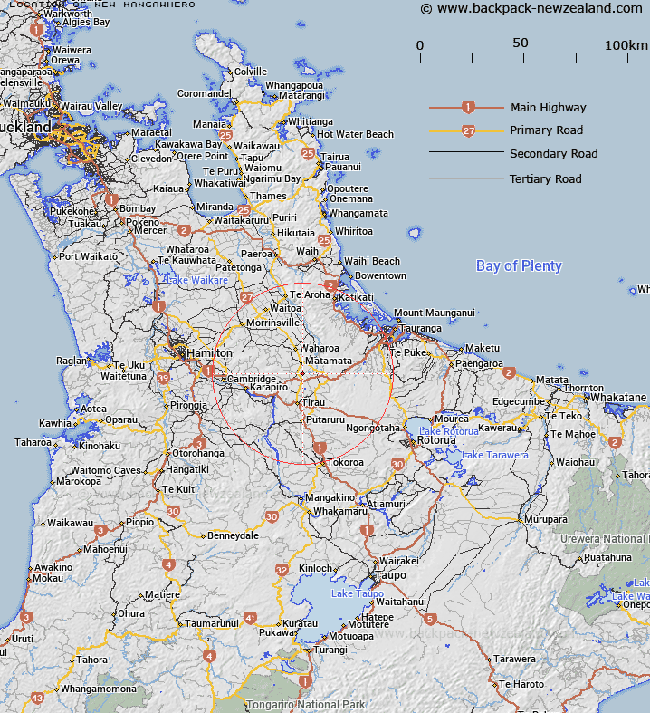
Map showing location of New Mangawhero
LINZ description: Trig. Station (Geodetic Code 1301), 3km North-east of Hinuera locality. Block VI Tapapa Survey District.
Latitude: -37.860023
Longitude: 175.782253
Northing: 5806066.7
Easting: 1844761.9
Land District: South Auckland
Feat Type: Trig Station
Latitude: -37.860023
Longitude: 175.782253
Northing: 5806066.7
Easting: 1844761.9
Land District: South Auckland
Feat Type: Trig Station

Scroll down to see a more detailed road map and below that a topographical map showing the location of New Mangawhero. The road map has been supplied by openstreetmap and the topographical map of New Mangawhero has been supplied by Land Information New Zealand (LINZ).
Yes you can use the top static map for you school/university project or personal website with a link back. Contact me for any commercial use.
[ A ] [ B ] [ C ] [ D ] [ E ] [ F ] [ G ] [ H ] [ I ] [ J ] [ K ] [ L ] [ M ] [ N ] [ O ] [ P ] [ Q ] [ R ] [ S ] [ T ] [ U ] [ V ] [ W ] [ X ] [ Y ] [ Z ]