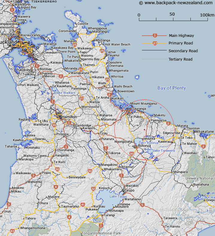
Map showing location of Tiekerereao


LINZ description: Approximately 15km north from Lake Rotorua.
Latitude: -37.931394
Longitude: 176.350726
Northing: 5796500
Easting: 1894500
Land District: South Auckland
Feat Type: Trig Station


Scroll down to see a more detailed road map and below that a topographical map showing the location of Tiekerereao. The road map has been supplied by openstreetmap and the topographical map of Tiekerereao has been supplied by Land Information New Zealand (LINZ).

Yes you can use the top static map for you school/university project or personal website with a link back. Contact me for any commercial use.

Tiekerereao Map New Zealand


New Zealand places in our database
[ A ] [ B ] [ C ] [ D ] [ E ] [ F ] [ G ] [ H ] [ I ] [ J ] [ K ] [ L ] [ M ] [ N ] [ O ] [ P ] [ Q ] [ R ] [ S ] [ T ] [ U ] [ V ] [ W ] [ X ] [ Y ] [ Z ]


Closest 20 Trig Stations to Tiekerereao

Pakotore ( 9.27km )   Pakotare ( 9.27km )   Te Pareoterawahirua ( 20.35km )   Te Pare ( 20.35km )   Te Pari ( 20.35km )   Te Kauranga ( 36.79km )   Takaurunga ( 36.79km )   Poutakataka ( 45.42km )   Ngakuru ( 45.42km )   Puketurua ( 50.28km )   Puketuaroa ( 50.28km )   New Mangawhero ( 50.51km )   Langmuir ( 50.51km )   Taumatamiere ( 52.81km )   Taumatamiri ( 52.81km )   Wharekaunga ( 55.05km )   Wharekauanga ( 55.05km )   Oiraraorao ( 62.1km )   Pukeahua ( 63.56km )   Ngakuriawharei ( 65.51km )   Ngakuriawhare ( 65.51km )   Patawa ( 70.34km )   Pataua ( 70.34km )   Tawhiwhau ( 70.48km )   Tawhiuau ( 70.48km )   Maraonui ( 71.37km )   Maroanui ( 71.37km )   Kiorenui ( 73.11km )   Kioronui ( 73.11km )   Tutaengarahu ( 77.91km )   Tutaengarahi ( 77.91km )   Maungawhiorangi ( 82.7km )   Mauiui ( 86.26km )   Tuawatawata ( 92.67km )   Tuwatawata ( 92.67km )   Maporiki ( 93.99km )   Mapouriki ( 93.99km )   Tarakeha ( 94.76km )   Tarakeho ( 94.76km )   Ngapuketurua ( 97.27km )