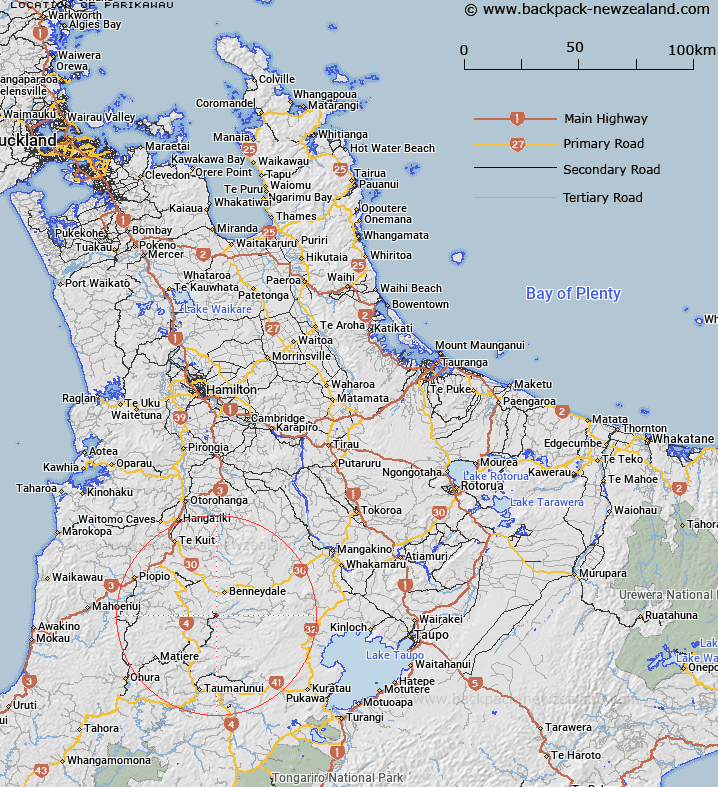
Map showing location of Parikawau
LINZ description: Trig. Station 1554 (Geodetic Code A9H8), situated 1.5km North-east of the locality of Waimiha, in Block VIII, Ongarue Survey District.
Latitude: -38.607263
Longitude: 175.329821
Northing: 5724229.9
Easting: 1802866.3
Land District: South Auckland
Feat Type: Trig Station
Latitude: -38.607263
Longitude: 175.329821
Northing: 5724229.9
Easting: 1802866.3
Land District: South Auckland
Feat Type: Trig Station

Scroll down to see a more detailed road map and below that a topographical map showing the location of Parikawau. The road map has been supplied by openstreetmap and the topographical map of Parikawau has been supplied by Land Information New Zealand (LINZ).
Yes you can use the top static map for you school/university project or personal website with a link back. Contact me for any commercial use.
[ A ] [ B ] [ C ] [ D ] [ E ] [ F ] [ G ] [ H ] [ I ] [ J ] [ K ] [ L ] [ M ] [ N ] [ O ] [ P ] [ Q ] [ R ] [ S ] [ T ] [ U ] [ V ] [ W ] [ X ] [ Y ] [ Z ]