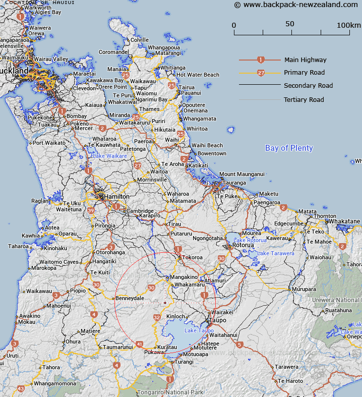
Map showing location of Mauiui
LINZ description: Hill with trig, 14km South-west of Lake Whakamaru, (Geodetic Code 2026). 7km South-west of Titiraupenga Peak. Marotiri Survey District.
Latitude: -38.55095
Longitude: 175.756287
Northing: 5729451
Easting: 1840193.8
Land District: South Auckland
Feat Type: Trig Station
Latitude: -38.55095
Longitude: 175.756287
Northing: 5729451
Easting: 1840193.8
Land District: South Auckland
Feat Type: Trig Station

Scroll down to see a more detailed road map and below that a topographical map showing the location of Mauiui. The road map has been supplied by openstreetmap and the topographical map of Mauiui has been supplied by Land Information New Zealand (LINZ).
Yes you can use the top static map for you school/university project or personal website with a link back. Contact me for any commercial use.
[ A ] [ B ] [ C ] [ D ] [ E ] [ F ] [ G ] [ H ] [ I ] [ J ] [ K ] [ L ] [ M ] [ N ] [ O ] [ P ] [ Q ] [ R ] [ S ] [ T ] [ U ] [ V ] [ W ] [ X ] [ Y ] [ Z ]