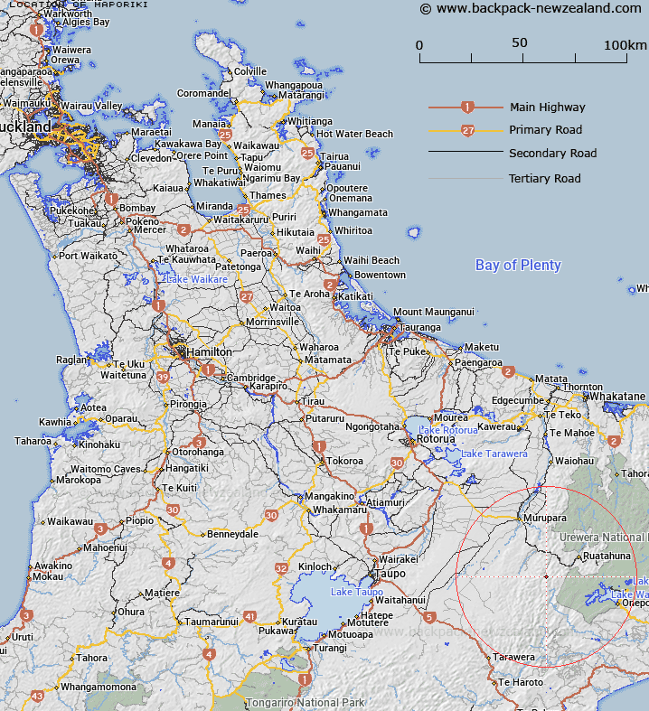
Map showing location of Maporiki
LINZ description: Trig. Station (Geodetic Code B5CM) and peak in the Huiarau range, 500m South-west of Turiohaua, and 1.5km North of Pukekaikakapo. Tuawatawata Survey District.
Latitude: -38.692005
Longitude: 176.820578
Northing: 5710469.1
Easting: 1932314.3
Land District: South Auckland
Feat Type: Trig Station
Latitude: -38.692005
Longitude: 176.820578
Northing: 5710469.1
Easting: 1932314.3
Land District: South Auckland
Feat Type: Trig Station

Scroll down to see a more detailed road map and below that a topographical map showing the location of Maporiki. The road map has been supplied by openstreetmap and the topographical map of Maporiki has been supplied by Land Information New Zealand (LINZ).
Yes you can use the top static map for you school/university project or personal website with a link back. Contact me for any commercial use.
[ A ] [ B ] [ C ] [ D ] [ E ] [ F ] [ G ] [ H ] [ I ] [ J ] [ K ] [ L ] [ M ] [ N ] [ O ] [ P ] [ Q ] [ R ] [ S ] [ T ] [ U ] [ V ] [ W ] [ X ] [ Y ] [ Z ]