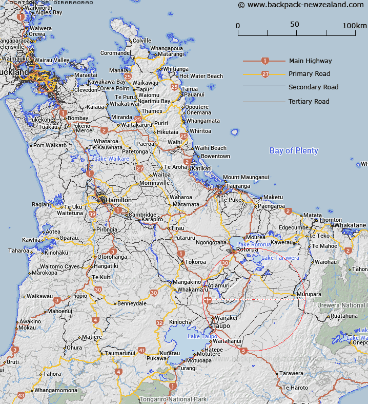
Map showing location of Oiraraorao


LINZ description: Feature shown in NZMS013 SAK92.
Latitude: -38.488479
Longitude: 176.40161
Northing: 5734500
Easting: 1896700
Land District: South Auckland
Feat Type: Trig Station


Scroll down to see a more detailed road map and below that a topographical map showing the location of Oiraraorao. The road map has been supplied by openstreetmap and the topographical map of Oiraraorao has been supplied by Land Information New Zealand (LINZ).

Yes you can use the top static map for you school/university project or personal website with a link back. Contact me for any commercial use.

Oiraraorao Map New Zealand


New Zealand places in our database
[ A ] [ B ] [ C ] [ D ] [ E ] [ F ] [ G ] [ H ] [ I ] [ J ] [ K ] [ L ] [ M ] [ N ] [ O ] [ P ] [ Q ] [ R ] [ S ] [ T ] [ U ] [ V ] [ W ] [ X ] [ Y ] [ Z ]


Closest 20 Trig Stations to Oiraraorao

Wharekauanga ( 7.81km )   Wharekaunga ( 7.81km )   Kiorenui ( 20.61km )   Kioronui ( 20.61km )   Ngakuru ( 28.06km )   Poutakataka ( 28.06km )   Maroanui ( 33.27km )   Maraonui ( 33.27km )   Tawhiuau ( 34.82km )   Tawhiwhau ( 34.82km )   Pukeahua ( 35.38km )   Tuwatawata ( 38.44km )   Tuawatawata ( 38.44km )   Tutaengarahu ( 40.98km )   Tutaengarahi ( 40.98km )   Mapouriki ( 42.87km )   Maporiki ( 42.87km )   Taumatamiri ( 54.69km )   Taumatamiere ( 54.69km )   Mauiui ( 56.57km )   Tiekerero ( 62.1km )   Tiekerereao ( 62.1km )   Tataraakin ( 65.77km )   Motuoapa ( 67.17km )   Pakotare ( 70.5km )   Pakotore ( 70.5km )   Ngapukeriki ( 71.69km )   Ngapuketurua ( 71.69km )   Pukaramea ( 71.74km )   Pukakaramea ( 71.74km )   Te Pareoterawahirua ( 72.69km )   Te Pari ( 72.69km )   Te Pare ( 72.69km )   Patuwahine ( 75.25km )   Parahakipaku ( 75.79km )   Te Kauranga ( 78.88km )   Takaurunga ( 78.88km )   Maungawhiorangi ( 81.27km )   Patawa ( 82.29km )   Pataua ( 82.29km )