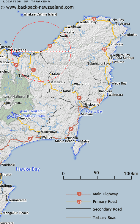
Map showing location of Tarakeha


LINZ description: Approximately 2km south-west from Haurere Point.
Latitude: -37.973108
Longitude: 177.430238
Northing: 5787900
Easting: 1989200
Land District: Gisborne
Feat Type: Trig Station


Scroll down to see a more detailed road map and below that a topographical map showing the location of Tarakeha. The road map has been supplied by openstreetmap and the topographical map of Tarakeha has been supplied by Land Information New Zealand (LINZ).

Yes you can use the top static map for you school/university project or personal website with a link back. Contact me for any commercial use.

Tarakeha Map New Zealand


New Zealand places in our database
[ A ] [ B ] [ C ] [ D ] [ E ] [ F ] [ G ] [ H ] [ I ] [ J ] [ K ] [ L ] [ M ] [ N ] [ O ] [ P ] [ Q ] [ R ] [ S ] [ T ] [ U ] [ V ] [ W ] [ X ] [ Y ] [ Z ]


Closest 20 Trig Stations to Tarakeha

Te Pakora ( 13.37km )   Te Pakera ( 13.37km )   Te Atuahautapu ( 13.52km )   Te Atua Ahutapu ( 13.52km )   Ngawhenga ( 21.35km )   Ngawehenga ( 21.35km )   Puhikereru ( 24.67km )   Pukekeruru ( 24.67km )   Pataua ( 25.99km )   Patawa ( 25.99km )   Ratahi ( 26.39km )   Ratatahi ( 26.39km )   Hamutuni ( 27.42km )   Hamutinui ( 27.42km )   Maungawhiorangi ( 27.77km )   Moutohora ( 33.85km )   Motuhora ( 33.85km )   Pukekiore ( 40.15km )   Maungahunia ( 41.69km )   Maungahaumi ( 41.69km )   Mangahaumia ( 41.69km )   Te Iwi Roa ( 44km )   Te Iwiroa ( 44km )   Tawhitiapaka ( 44.18km )   Tawhiti ( 44.18km )   Meringahei ( 49.12km )   Miringahei ( 49.12km )   Taumatamiri ( 53.12km )   Taumatamiere ( 53.12km )   Tutamoi ( 55.28km )   Tutamoe ( 55.28km )   Ngapukeriki ( 58.4km )   Ngapuketurua ( 58.4km )   Paparinga ( 68.24km )   Tokiameha ( 70.23km )   Pokiameha ( 70.23km )   Tapapanui ( 74.49km )   Tawhiuau ( 77.08km )   Tawhiwhau ( 77.08km )   Te Pari ( 78km )