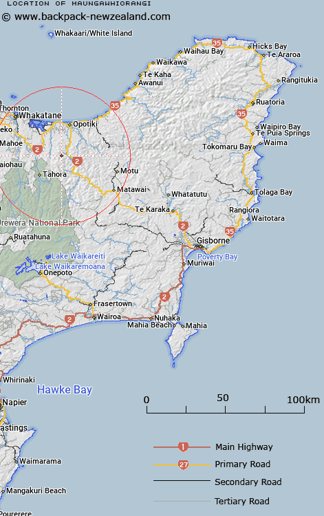
Map showing location of Maungawhiorangi


LINZ description: Hill with trig, west Waioeka River, geodetic code: 1285
Latitude: -38.174833
Longitude: 177.243242
Northing: 5766270
Easting: 1971740
Land District: Gisborne
Feat Type: Trig Station


Scroll down to see a more detailed road map and below that a topographical map showing the location of Maungawhiorangi. The road map has been supplied by openstreetmap and the topographical map of Maungawhiorangi has been supplied by Land Information New Zealand (LINZ).

Yes you can use the top static map for you school/university project or personal website with a link back. Contact me for any commercial use.

Maungawhiorangi Map New Zealand


New Zealand places in our database
[ A ] [ B ] [ C ] [ D ] [ E ] [ F ] [ G ] [ H ] [ I ] [ J ] [ K ] [ L ] [ M ] [ N ] [ O ] [ P ] [ Q ] [ R ] [ S ] [ T ] [ U ] [ V ] [ W ] [ X ] [ Y ] [ Z ]


Closest 20 Trig Stations to Maungawhiorangi

Patawa ( 18.17km )   Pataua ( 18.17km )   Moutohora ( 23.8km )   Motuhora ( 23.8km )   Te Pakora ( 25.63km )   Te Pakera ( 25.63km )   Tarakeha ( 27.77km )   Tarakeho ( 27.77km )   Te Atua Ahutapu ( 28.51km )   Te Atuahautapu ( 28.51km )   Ngawehenga ( 31.37km )   Ngawhenga ( 31.37km )   Taumatamiri ( 32.19km )   Taumatamiere ( 32.19km )   Hamutinui ( 32.65km )   Hamutuni ( 32.65km )   Ngapukeriki ( 33.19km )   Ngapuketurua ( 33.19km )   Mangahaumia ( 39.28km )   Maungahaumi ( 39.28km )   Maungahunia ( 39.28km )   Ratatahi ( 45.41km )   Ratahi ( 45.41km )   Puhikereru ( 46.25km )   Pukekeruru ( 46.25km )   Pukekiore ( 47.73km )   Te Iwi Roa ( 48.38km )   Te Iwiroa ( 48.38km )   Tawhiuau ( 49.88km )   Tawhiwhau ( 49.88km )   Tawhitiapaka ( 51.61km )   Tawhiti ( 51.61km )   Te Itanga Mahaki ( 59.9km )   Te Aitangaamahaki ( 59.9km )   Kohirikiriki ( 60.33km )   Koherekireki ( 60.33km )   Tutamoi ( 63.63km )   Tutamoe ( 63.63km )   Miringahei ( 64.56km )   Meringahei ( 64.56km )