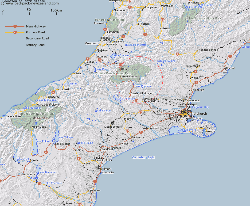
Map showing location of Pete Stream


LINZ description: Right bank tributary of the Poulter River rising 3.25km South of Brown Hill, flowing South-eastward and joining the Poulter River due West of Peveril Peak. Block XI, Hawdon Survey District.
Latitude: -42.993443
Longitude: 171.872338
Northing: 5239296.4
Easting: 1508075.9
Land District: Canterbury
Feat Type: Stream


Scroll down to see a more detailed road map and below that a topographical map showing the location of Pete Stream. The road map has been supplied by openstreetmap and the topographical map of Pete Stream has been supplied by Land Information New Zealand (LINZ).

Yes you can use the top static map for you school/university project or personal website with a link back. Contact me for any commercial use.

Pete Stream Map New Zealand


New Zealand places in our database
[ A ] [ B ] [ C ] [ D ] [ E ] [ F ] [ G ] [ H ] [ I ] [ J ] [ K ] [ L ] [ M ] [ N ] [ O ] [ P ] [ Q ] [ R ] [ S ] [ T ] [ U ] [ V ] [ W ] [ X ] [ Y ] [ Z ]


Closest 20 Streams to Pete Stream

Mount Brown Creek ( 4.61km )   Lower Farm Stream ( 4.7km )   Bush Stream ( 4.87km )   Turnbull Stream ( 5.71km )   Boundary Stream ( 6.05km )   Andrews Stream ( 6.29km )   Poverty Stream ( 6.84km )   Poulter River East Branch ( 6.91km )   Gooseberry Stream ( 7.68km )   Riversdale Stream ( 7.79km )   Trinity Stream ( 8.4km )   Cleland Stream ( 8.71km )   Pampas Stream ( 9.26km )   Surprise Stream ( 9.83km )   Letitia Stream ( 9.84km )   Grasmere Stream ( 10.21km )   Casey Stream ( 10.65km )   Sailor Stream ( 11.31km )   Camp Stream ( 11.4km )   East Hawdon Stream ( 11.51km )   Slovens Stream ( 11.57km )   Hawdon River ( 12.34km )   Baldy Stream ( 12.66km )   Beckett Stream ( 12.67km )   Misery Stream ( 13.18km )   Sudden Valley Stream ( 13.23km )   Cass River ( 13.27km )   Brechin Burn ( 13.28km )   Lochinvar Stream ( 13.76km )   P?kio Stream ( 14.34km )   Nigger Stream ( 14.34km )   Fenwick Stream ( 14.37km )   Discovery Stream ( 14.69km )   Red Beech Stream ( 14.73km )   Snowslide Stream ( 14.83km )   Newton Stream ( 14.89km )   Ribbonwood Stream ( 15.58km )   Twin Fall Stream ( 15.69km )   Bernard Stream ( 15.85km )   Hungerford Stream ( 15.88km )