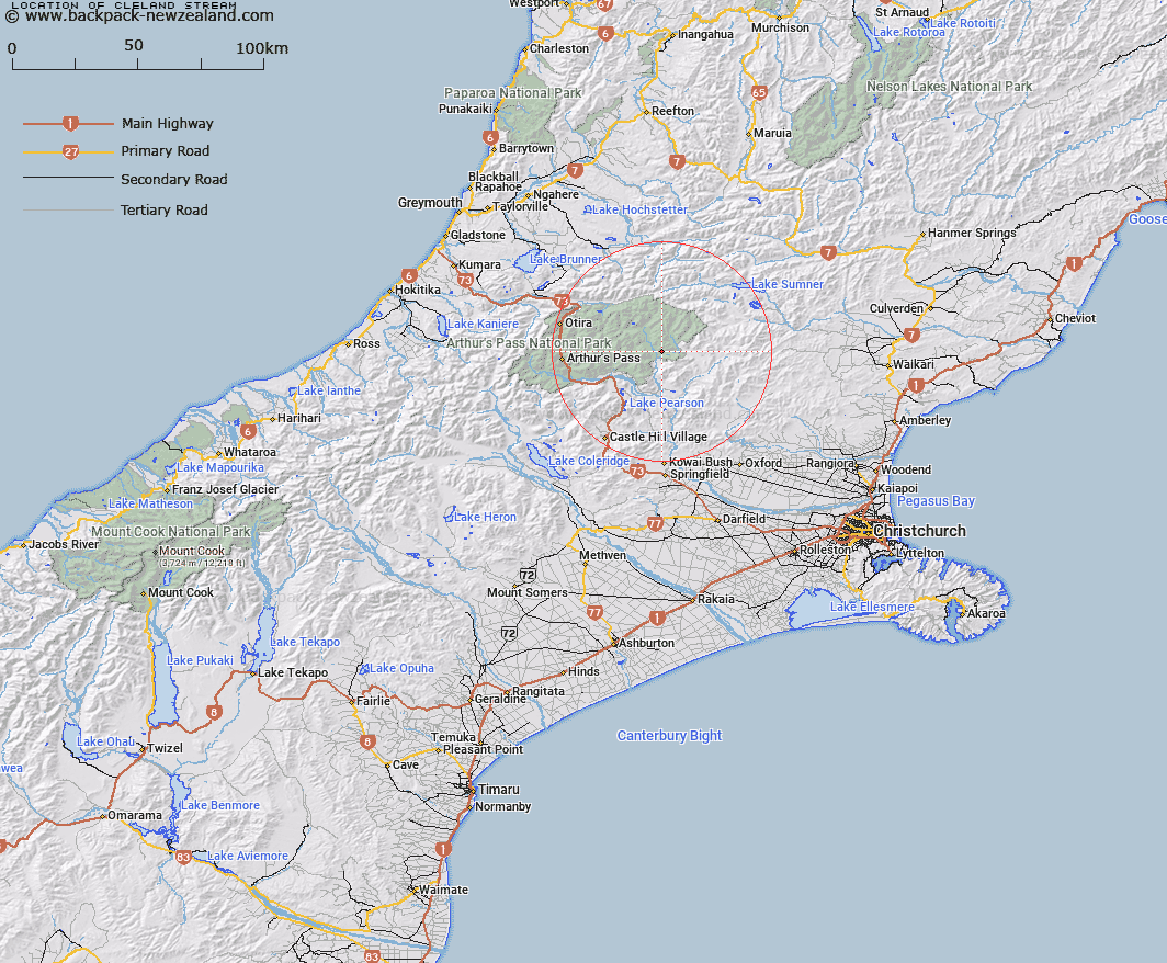
Map showing location of Cleland Stream
LINZ description: Left bank tributary of Poulter River rising in the southern end of the Poulter Range, flowing eastward, North of the ridge above McArthur Gorge, and joining Poulter River 2km upstream of Poulter River East Branch, opposite Aeroplane Flat. Block VII, Hawdon Survey District.
Latitude: -42.921789
Longitude: 171.915601
Northing: 5247300
Easting: 1511500
Land District: Canterbury
Feat Type: Stream
Latitude: -42.921789
Longitude: 171.915601
Northing: 5247300
Easting: 1511500
Land District: Canterbury
Feat Type: Stream

Scroll down to see a more detailed road map and below that a topographical map showing the location of Cleland Stream. The road map has been supplied by openstreetmap and the topographical map of Cleland Stream has been supplied by Land Information New Zealand (LINZ).
Yes you can use the top static map for you school/university project or personal website with a link back. Contact me for any commercial use.
[ A ] [ B ] [ C ] [ D ] [ E ] [ F ] [ G ] [ H ] [ I ] [ J ] [ K ] [ L ] [ M ] [ N ] [ O ] [ P ] [ Q ] [ R ] [ S ] [ T ] [ U ] [ V ] [ W ] [ X ] [ Y ] [ Z ]