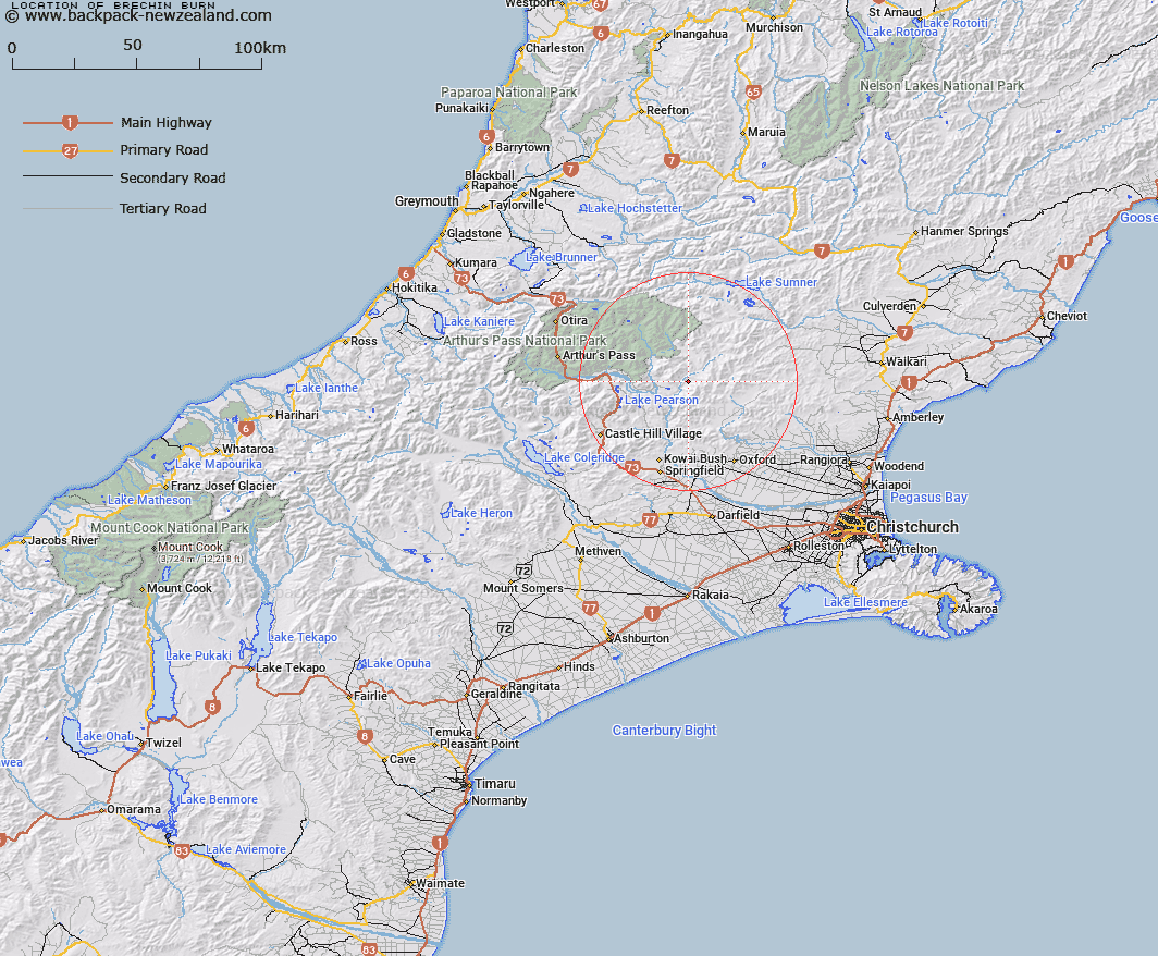
Map showing location of Brechin Burn


LINZ description: Rises near Mount Pember and flows north-westerly and south-westerly into Esk River. Upper Ashley & Esk Survey Districts.
Latitude: -43.029957
Longitude: 172.027851
Northing: 5235400
Easting: 1520800
Land District: Canterbury
Feat Type: Stream


Scroll down to see a more detailed road map and below that a topographical map showing the location of Brechin Burn. The road map has been supplied by openstreetmap and the topographical map of Brechin Burn has been supplied by Land Information New Zealand (LINZ).

Yes you can use the top static map for you school/university project or personal website with a link back. Contact me for any commercial use.

Brechin Burn Map New Zealand


New Zealand places in our database
[ A ] [ B ] [ C ] [ D ] [ E ] [ F ] [ G ] [ H ] [ I ] [ J ] [ K ] [ L ] [ M ] [ N ] [ O ] [ P ] [ Q ] [ R ] [ S ] [ T ] [ U ] [ V ] [ W ] [ X ] [ Y ] [ Z ]


Closest 20 Streams to Brechin Burn

Hungerford Stream ( 3.3km )   Baldy Stream ( 4.49km )   Newton Stream ( 4.63km )   Sailor Stream ( 5.82km )   Camp Stream ( 6.76km )   Whistler River ( 6.9km )   Pember Stream ( 7.26km )   Boundary Stream ( 7.49km )   Letitia Stream ( 8.14km )   Chest Peak Stream ( 8.31km )   Esk River ( 8.52km )   Lillburn River ( 9.17km )   Lilburne River ( 9.17km )   Cunningham Stream ( 9.75km )   Mannering Stream ( 9.91km )   Lochinvar Stream ( 10.13km )   Salmon Creek ( 10.33km )   Nigger Stream ( 10.44km )   P?kio Stream ( 10.44km )   Boundary Stream ( 10.98km )   Flora Stream ( 10.99km )   Youngman Stream ( 11.28km )   Turnbull Stream ( 11.41km )   Pig Spur Stream ( 12.25km )   Ant Stream ( 12.29km )   Laurie Stream ( 13.26km )   Pete Stream ( 13.28km )   Poulter River East Branch ( 13.48km )   Snowdale Stream ( 13.97km )   Anna Stream ( 14.03km )   Gooseberry Stream ( 14.14km )   Milton Stream ( 14.42km )   Broadleaf Stream ( 14.66km )   Millton Stream ( 15.09km )   Cleland Stream ( 15.1km )   Mount Brown Creek ( 15.35km )   Poverty Stream ( 15.62km )   Kingsdown Stream ( 15.69km )   Duncan Stream ( 15.77km )   Shifton Stream ( 15.79km )