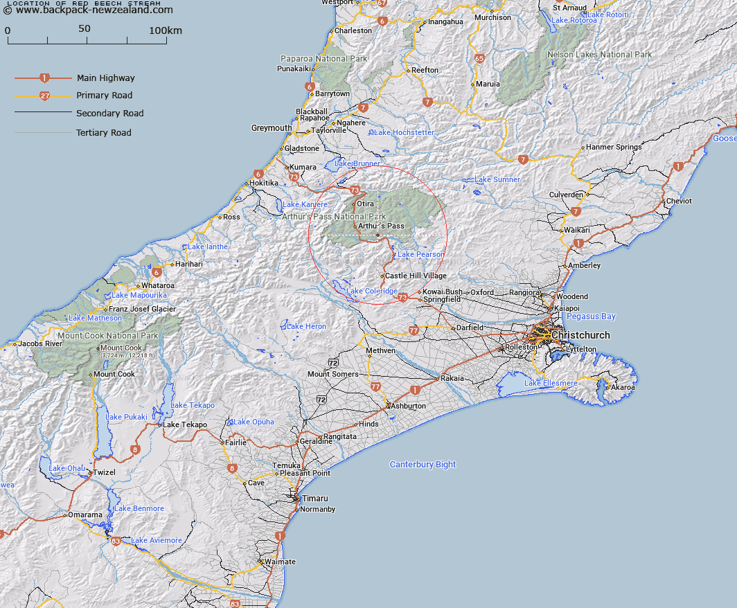
Map showing location of Red Beech Stream


LINZ description: Left bank tributary of Waimakariri River rising 1.75km North-east of Dome Peak, flowing South-eastward and joining Waimakariri River 2km upstream of Hawdon River. Block XII, Bealey Survey District.
Latitude: -42.989779
Longitude: 171.691255
Northing: 5239489.3
Easting: 1493308
Land District: Canterbury
Feat Type: Stream


Scroll down to see a more detailed road map and below that a topographical map showing the location of Red Beech Stream. The road map has been supplied by openstreetmap and the topographical map of Red Beech Stream has been supplied by Land Information New Zealand (LINZ).

Yes you can use the top static map for you school/university project or personal website with a link back. Contact me for any commercial use.

Red Beech Stream Map New Zealand


New Zealand places in our database
[ A ] [ B ] [ C ] [ D ] [ E ] [ F ] [ G ] [ H ] [ I ] [ J ] [ K ] [ L ] [ M ] [ N ] [ O ] [ P ] [ Q ] [ R ] [ S ] [ T ] [ U ] [ V ] [ W ] [ X ] [ Y ] [ Z ]


Closest 20 Streams to Red Beech Stream

Douglas Stream ( 1.61km )   Sudden Valley Stream ( 3.08km )   East Branch Edwards River ( 4.24km )   Edwards River ( 5.49km )   Sawmill Stream ( 5.75km )   Misery Stream ( 5.95km )   McKay Stream ( 6.75km )   Grasmere Stream ( 6.92km )   Riversdale Stream ( 7.23km )   Mingha River ( 7.44km )   Hawdon River ( 7.48km )   Broad Stream ( 7.48km )   McLeod Stream ( 7.88km )   Cass River ( 8.06km )   Snowslide Stream ( 8.63km )   Discovery Stream ( 8.65km )   Andrews Stream ( 8.81km )   Greyneys Creek ( 9.25km )   Long Valley Stream ( 9.75km )   Agility Creek ( 9.8km )   Bretts Stream ( 9.82km )   Twin Fall Stream ( 10.07km )   Lower Farm Stream ( 10.09km )   Bruce Stream ( 10.24km )   Graham Stream ( 10.35km )   East Hawdon Stream ( 10.43km )   Halpin Creek ( 10.62km )   Snow Creek ( 10.62km )   Devils Punchbowl Creek ( 11.07km )   Mangos Creek ( 11.59km )   Doubtful Creek ( 11.96km )   Power Stream ( 11.98km )   Bush Stream ( 12.13km )   Ribbonwood Stream ( 12.15km )   Rough Creek ( 12.27km )   Otehake River East Branch ( 12.37km )   Avalanche Creek ( 12.38km )   Bridal Veil Creek ( 12.62km )   Wardens Creek ( 12.65km )   Long Creek ( 12.79km )