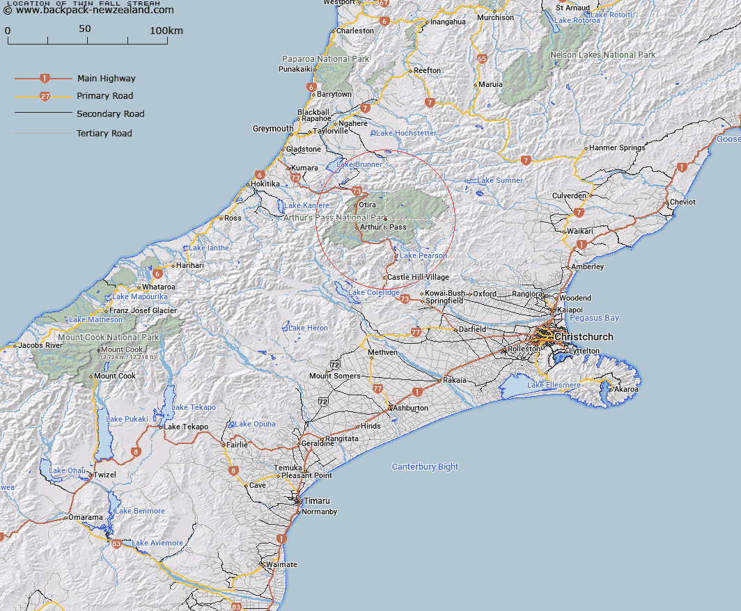
Map showing location of Twin Fall Stream


LINZ description: Right bank tributary of Hawdon River rising South-east of Walker Pass, flowing south-easttward, and joining Hawdon River 3.6km upstream of East Hawdon Stream. Blocks IV and VIII, Bealey Survey District
Latitude: -42.902584
Longitude: 171.724851
Northing: 5249214.3
Easting: 1495900
Land District: Canterbury
Feat Type: Stream


Scroll down to see a more detailed road map and below that a topographical map showing the location of Twin Fall Stream. The road map has been supplied by openstreetmap and the topographical map of Twin Fall Stream has been supplied by Land Information New Zealand (LINZ).

Yes you can use the top static map for you school/university project or personal website with a link back. Contact me for any commercial use.

Twin Fall Stream Map New Zealand


New Zealand places in our database
[ A ] [ B ] [ C ] [ D ] [ E ] [ F ] [ G ] [ H ] [ I ] [ J ] [ K ] [ L ] [ M ] [ N ] [ O ] [ P ] [ Q ] [ R ] [ S ] [ T ] [ U ] [ V ] [ W ] [ X ] [ Y ] [ Z ]


Closest 20 Streams to Twin Fall Stream

Discovery Stream ( 1.52km )   Otehake River East Branch ( 2.6km )   Hawdon River ( 3.88km )   East Hawdon Stream ( 4.44km )   Otehake River West Branch ( 5.02km )   Trudge Stream ( 5.93km )   Enchanted Stream ( 6.01km )   Chasm Stream ( 6.53km )   Sudden Valley Stream ( 7.27km )   Tawhana Stream ( 7.71km )   Pampas Stream ( 7.99km )   Good Luck Creek ( 8.45km )   Surprise Stream ( 8.52km )   Koropuku Creek ( 8.83km )   East Branch Edwards River ( 9.24km )   Trinity Stream ( 9.26km )   Whaiti Stream ( 9.29km )   Riversdale Stream ( 9.53km )   Agility Creek ( 9.69km )   Casey Stream ( 9.76km )   Poulter River ( 9.98km )   Red Beech Stream ( 10.07km )   Minchin Stream ( 10.12km )   Dorreen Creek ( 10.16km )   Doreen Creek ( 10.16km )   Andrews Stream ( 10.23km )   Spray Creek ( 10.28km )   Shaffrey Creek ( 10.61km )   Deception River ( 10.71km )   Edwards River ( 11.18km )   Douglas Stream ( 11.26km )   Midday Creek ( 11.35km )   Mingha River ( 11.7km )   Gorge Creek ( 11.79km )   Devils Punchbowl Creek ( 11.83km )   Tutu Creek ( 12.02km )   Upper Twin Creek ( 12.16km )   Otehake River ( 12.19km )   Linwood Creek ( 12.29km )   Foggy Creek ( 12.7km )