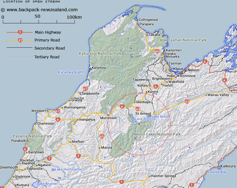
Map showing location of Open Stream


LINZ description: Right bank tributary of Sabine River rising 1km East of Mount Cedric, flowing south-westward and joining Sabine River 1.7km upstream of Lake Rotoroa. Blocks XI and XII Rotoroa Survey District.
Latitude: -41.905207
Longitude: 172.705582
Northing: 5360706.5
Easting: 1575580.8
Land District: Nelson
Feat Type: Stream


Scroll down to see a more detailed road map and below that a topographical map showing the location of Open Stream. The road map has been supplied by openstreetmap and the topographical map of Open Stream has been supplied by Land Information New Zealand (LINZ).

Yes you can use the top static map for you school/university project or personal website with a link back. Contact me for any commercial use.

Open Stream Map New Zealand


New Zealand places in our database
[ A ] [ B ] [ C ] [ D ] [ E ] [ F ] [ G ] [ H ] [ I ] [ J ] [ K ] [ L ] [ M ] [ N ] [ O ] [ P ] [ Q ] [ R ] [ S ] [ T ] [ U ] [ V ] [ W ] [ X ] [ Y ] [ Z ]


Closest 20 Streams to Open Stream

Open Stream ( 0km )   Cattle Stream ( 1.99km )   Hopeless Creek ( 3.57km )   Cedric Stream ( 4.49km )   Hukere Stream ( 5.95km )   M?ori Stream ( 6.85km )   Tier Stream ( 6.87km )   Sabine River ( 6.93km )   Ngaro Stream ( 6.99km )   Shift Creek ( 6.99km )   Cupola Creek ( 8.48km )   Hodgson Stream ( 8.6km )   Bull Creek ( 9.01km )   Chandler Stream ( 9.2km )   Swampy Creek ( 9.43km )   Coldwater Stream ( 9.59km )   Johansen Stream ( 9.83km )   Clearwater Stream ( 9.89km )   Summit Creek ( 10.35km )   Snows Stream ( 10.49km )   Arnst River ( 11.31km )   Arnst Gully ( 11.31km )   Speargrass Creek ( 11.65km )   Te Horowai / Speargrass Creek ( 11.65km )   Whisky Creek ( 11.74km )   Boulder Stream ( 11.75km )   Atkinson Stream ( 11.96km )   Gibbs Creek ( 12.7km )   Robert Stream ( 12.73km )   Travers River ( 12.93km )   East Branch Sabine River ( 13.02km )   Tongue Spur Stream ( 13.02km )   Hamilton River ( 13.42km )   Six Mile Creek ( 14.32km )   Maggie Creek ( 14.41km )   Coleman Creek ( 14.65km )   St Ronans Stream ( 15.08km )   McCaa Stream ( 15.31km )   Maud Creek ( 15.32km )   D'Urville River ( 15.36km )