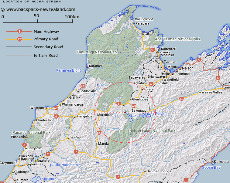
Map showing location of McCaa Stream


LINZ description: A tributary of Lake Rotoroa, rising West of Trig. I (Geodetic Code A59X), flowing generally northward into the West side of Lake Rotoroa near the Gowan River mouth. Blocks I and II Rotoroa Survey District.
Latitude: -41.806257
Longitude: 172.577054
Northing: 5371648.1
Easting: 1564866.6
Land District: Nelson
Feat Type: Stream


Scroll down to see a more detailed road map and below that a topographical map showing the location of McCaa Stream. The road map has been supplied by openstreetmap and the topographical map of McCaa Stream has been supplied by Land Information New Zealand (LINZ).

Yes you can use the top static map for you school/university project or personal website with a link back. Contact me for any commercial use.

McCaa Stream Map New Zealand


New Zealand places in our database
[ A ] [ B ] [ C ] [ D ] [ E ] [ F ] [ G ] [ H ] [ I ] [ J ] [ K ] [ L ] [ M ] [ N ] [ O ] [ P ] [ Q ] [ R ] [ S ] [ T ] [ U ] [ V ] [ W ] [ X ] [ Y ] [ Z ]


Closest 20 Streams to McCaa Stream

Te Wiriki Stream ( 3.59km )   Adit Stream ( 4.11km )   Boulder Stream ( 4.33km )   Te Kauparenui / Gowan River ( 4.72km )   Gowan River ( 4.72km )   Johansen Stream ( 6.01km )   Te Patiti Stream ( 6.07km )   Gibbs Creek ( 6.09km )   Marr Creek ( 6.13km )   Te Peita Stream ( 6.42km )   Louis Creek ( 6.47km )   Coleman Creek ( 6.65km )   New Creek ( 7.42km )   Swampy Creek ( 9.02km )   Porika Stream ( 9.13km )   Hinemoat? / Howard River ( 9.16km )   Howard River ( 9.16km )   M?ori Stream ( 9.19km )   Atkinson Stream ( 9.48km )   Long Gully Stream ( 9.62km )   Tiraumea River ( 10.1km )   Tutaki River ( 10.51km )   Hodgson Stream ( 10.56km )   Tier Stream ( 10.76km )   Snows Stream ( 10.89km )   Maud Creek ( 11.31km )   Granity Creek ( 12.19km )   Washout Creek ( 12.25km )   Cedric Stream ( 12.46km )   Maggie Creek ( 12.65km )   Grassy Creek ( 12.74km )   Harley Creek ( 12.93km )   Skeat Creek ( 13.08km )   Tutaki River East Branch ( 13.51km )   Homestead Creek ( 13.98km )   Johnson Creek ( 14.44km )   Harte Creek ( 14.48km )   Hudson Creek ( 14.5km )   Nuggety Creek ( 14.58km )   Two Mile Creek ( 14.58km )