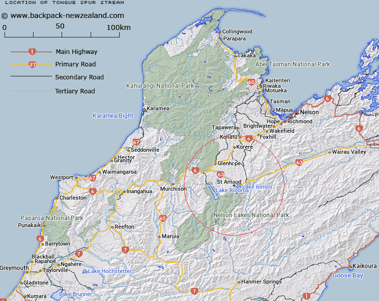
Map showing location of Tongue Spur Stream


LINZ description: Left bank tributary of Speargrass Creek, rising 750m South of Trig. Sub 2 (Geodetic Code ANVJ), flowing generally northward, and joining Speargrass Creek 1.5km South-east of Speargrass Homestead. Block XVI Howard and Block IV Arnaud Survey Districts.
Latitude: -41.808793
Longitude: 172.794863
Northing: 5371432.6
Easting: 1582960.3
Land District: Nelson
Feat Type: Stream


Scroll down to see a more detailed road map and below that a topographical map showing the location of Tongue Spur Stream. The road map has been supplied by openstreetmap and the topographical map of Tongue Spur Stream has been supplied by Land Information New Zealand (LINZ).

Yes you can use the top static map for you school/university project or personal website with a link back. Contact me for any commercial use.

Tongue Spur Stream Map New Zealand


New Zealand places in our database
[ A ] [ B ] [ C ] [ D ] [ E ] [ F ] [ G ] [ H ] [ I ] [ J ] [ K ] [ L ] [ M ] [ N ] [ O ] [ P ] [ Q ] [ R ] [ S ] [ T ] [ U ] [ V ] [ W ] [ X ] [ Y ] [ Z ]


Closest 20 Streams to Tongue Spur Stream

Tongue Spur Stream ( 0km )   Speargrass Creek ( 1.79km )   Te Horowai / Speargrass Creek ( 1.79km )   Robert Stream ( 3.03km )   Duckpond Stream ( 3.48km )   Whisky Creek ( 4.4km )   Teetotal Creek ( 5.16km )   Black Valley Stream ( 5.88km )   Borlase Stream ( 6.13km )   Chandler Stream ( 6.74km )   Maggie Creek ( 6.88km )   Snows Stream ( 7.18km )   St Arnaud Stream ( 7.46km )   Coldwater Stream ( 7.55km )   Skeat Creek ( 7.6km )   Hodgson Stream ( 8.06km )   Seventeen Creek ( 8.23km )   Homestead Creek ( 8.26km )   Roundell Creek ( 8.64km )   Maud Creek ( 8.88km )   Clearwater Stream ( 8.99km )   Tier Stream ( 9.01km )   Ngaro Stream ( 9.12km )   Shift Creek ( 9.12km )   Swampy Creek ( 9.32km )   Cedric Stream ( 9.7km )   Pakihi Creek ( 9.78km )   Prospector Creek ( 9.88km )   Rough Creek ( 10.25km )   Chinaman Stream ( 10.33km )   Merry Stream ( 10.33km )   Hukere Stream ( 10.45km )   Deception Creek ( 10.55km )   Long Gully Stream ( 10.66km )   No Catchem Stream ( 10.66km )   Woolshed Stream ( 11.24km )   Howard River ( 11.54km )   Hinemoat? / Howard River ( 11.54km )   5 Mile Creek ( 11.7km )   Diggers Creek ( 11.96km )