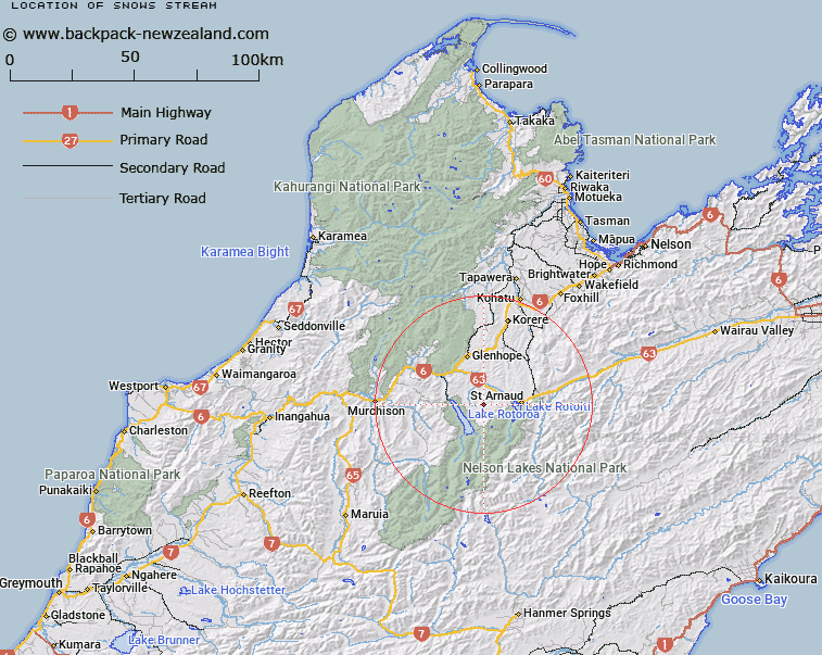
Map showing location of Snows Stream


LINZ description: Small left bank tributary of Maud Creek, rising 1.5km South South-east of Trig. Maud (Geodetic Code B7CG), flowing North-eastward and joining Maud Creek 1.35km South-east of Trig Maud. Block XV Howard Survey District.
Latitude: -41.810885
Longitude: 172.708292
Northing: 5371179.6
Easting: 1575770.1
Land District: Nelson
Feat Type: Stream


Scroll down to see a more detailed road map and below that a topographical map showing the location of Snows Stream. The road map has been supplied by openstreetmap and the topographical map of Snows Stream has been supplied by Land Information New Zealand (LINZ).

Yes you can use the top static map for you school/university project or personal website with a link back. Contact me for any commercial use.

Snows Stream Map New Zealand


New Zealand places in our database
[ A ] [ B ] [ C ] [ D ] [ E ] [ F ] [ G ] [ H ] [ I ] [ J ] [ K ] [ L ] [ M ] [ N ] [ O ] [ P ] [ Q ] [ R ] [ S ] [ T ] [ U ] [ V ] [ W ] [ X ] [ Y ] [ Z ]


Closest 20 Streams to Snows Stream

Hodgson Stream ( 1.99km )   Swampy Creek ( 2.37km )   Tier Stream ( 3.78km )   Maggie Creek ( 4.06km )   Maud Creek ( 4.85km )   Gibbs Creek ( 5.02km )   Skeat Creek ( 5.3km )   Long Gully Stream ( 5.52km )   Coleman Creek ( 5.96km )   Cedric Stream ( 6.01km )   Hinemoat? / Howard River ( 6.24km )   Howard River ( 6.24km )   Homestead Creek ( 6.71km )   Porika Stream ( 7.05km )   Tongue Spur Stream ( 7.18km )   Louis Creek ( 7.3km )   Te Horowai / Speargrass Creek ( 7.42km )   Speargrass Creek ( 7.42km )   Teetotal Creek ( 8.72km )   Robert Stream ( 9.45km )   Johansen Stream ( 9.68km )   M?ori Stream ( 9.87km )   Whisky Creek ( 9.98km )   Chandler Stream ( 10.31km )   Duckpond Stream ( 10.36km )   Boulder Stream ( 10.49km )   Open Stream ( 10.49km )   McCaa Stream ( 10.89km )   Shift Creek ( 11.05km )   Ngaro Stream ( 11.05km )   Station Creek ( 11.12km )   New Creek ( 11.21km )   Coldwater Stream ( 11.31km )   Te Kauparenui / Gowan River ( 11.35km )   Gowan River ( 11.35km )   Hukere Stream ( 11.61km )   Harley Creek ( 11.66km )   Cattle Stream ( 12.01km )   Hopeless Creek ( 12.46km )   Seventeen Creek ( 12.55km )