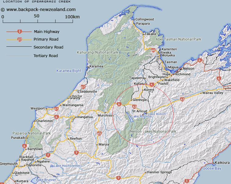
Map showing location of Speargrass Creek
LINZ description: A stream flowing from Robert Ridge approximately 1 km northeast of Rotomaninitua / Lake Angelus into Buller River approximately 8 km northwest of St Arnaud. Feature shown on: NZMS260 N29 Edition 1 1984 Limited Revision 1996; NZTopo50-BS24 797635 - BR24 808769.
Latitude: -41.824861
Longitude: 172.795833
Northing: 5369648.8
Easting: 1583045.1
Land District: Nelson
Feat Type: Stream
Latitude: -41.824861
Longitude: 172.795833
Northing: 5369648.8
Easting: 1583045.1
Land District: Nelson
Feat Type: Stream

Scroll down to see a more detailed road map and below that a topographical map showing the location of Speargrass Creek. The road map has been supplied by openstreetmap and the topographical map of Speargrass Creek has been supplied by Land Information New Zealand (LINZ).
Yes you can use the top static map for you school/university project or personal website with a link back. Contact me for any commercial use.
[ A ] [ B ] [ C ] [ D ] [ E ] [ F ] [ G ] [ H ] [ I ] [ J ] [ K ] [ L ] [ M ] [ N ] [ O ] [ P ] [ Q ] [ R ] [ S ] [ T ] [ U ] [ V ] [ W ] [ X ] [ Y ] [ Z ]