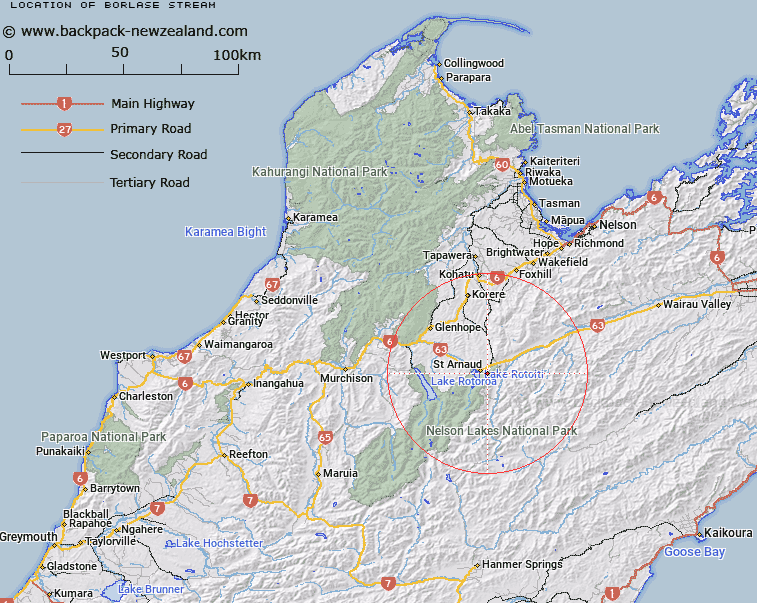
Map showing location of Borlase Stream
LINZ description: Right bank tributary of Black Valley Stream near Lake Rotoiti, rising 1.75km south-west of Trig. E Saint Arnaud (Geodetic Code A5AE) on the western side of the Saint Arnaud Range, flowing North-westward, and joining Black Valley Stream at the northern end of Saint Arnaud township. Motupiko and Rotoiti Survey Districts.
Latitude: -41.815211
Longitude: 172.8683
Northing: 5370731.9
Easting: 1589061.4
Land District: Nelson
Feat Type: Stream
Latitude: -41.815211
Longitude: 172.8683
Northing: 5370731.9
Easting: 1589061.4
Land District: Nelson
Feat Type: Stream

Scroll down to see a more detailed road map and below that a topographical map showing the location of Borlase Stream. The road map has been supplied by openstreetmap and the topographical map of Borlase Stream has been supplied by Land Information New Zealand (LINZ).
Yes you can use the top static map for you school/university project or personal website with a link back. Contact me for any commercial use.
[ A ] [ B ] [ C ] [ D ] [ E ] [ F ] [ G ] [ H ] [ I ] [ J ] [ K ] [ L ] [ M ] [ N ] [ O ] [ P ] [ Q ] [ R ] [ S ] [ T ] [ U ] [ V ] [ W ] [ X ] [ Y ] [ Z ]