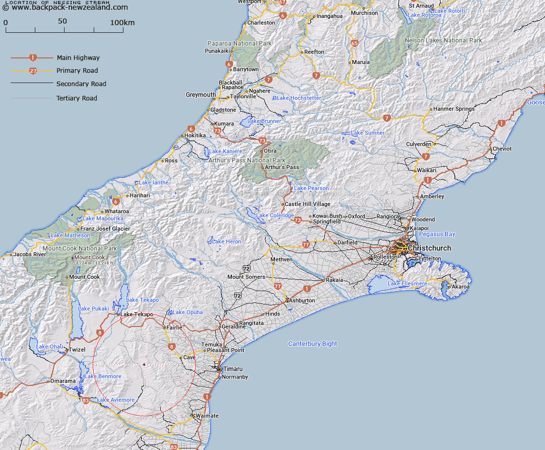
Map showing location of Nessing Stream


LINZ description: Stream draining the South-western slopes of Mount Nessing, [Trig. M (Geodetic Code B6YC)], flowing South-westwards and joining Longden Stream approximately 650m upstream of Hakataramea River. Mackenzie and Opawa Survey Districts.
Latitude: -44.361541
Longitude: 170.680398
Northing: 5085353.6
Easting: 1415159.8
Land District: Canterbury
Feat Type: Stream


Scroll down to see a more detailed road map and below that a topographical map showing the location of Nessing Stream. The road map has been supplied by openstreetmap and the topographical map of Nessing Stream has been supplied by Land Information New Zealand (LINZ).

Yes you can use the top static map for you school/university project or personal website with a link back. Contact me for any commercial use.

Nessing Stream Map New Zealand


New Zealand places in our database
[ A ] [ B ] [ C ] [ D ] [ E ] [ F ] [ G ] [ H ] [ I ] [ J ] [ K ] [ L ] [ M ] [ N ] [ O ] [ P ] [ Q ] [ R ] [ S ] [ T ] [ U ] [ V ] [ W ] [ X ] [ Y ] [ Z ]


Closest 20 Streams to Nessing Stream

Longden Stream ( 2.14km )   Two Legged Stream ( 3.29km )   MacGregor Stream ( 3.44km )   Marsack Stream ( 3.51km )   Massack Stream ( 3.51km )   Scour Stream ( 6.58km )   Opawa River ( 7.02km )   Dunstan Stream ( 7.1km )   Anderson Stream ( 7.5km )   Grampian Stream ( 8.43km )   Dalgety Stream ( 9.41km )   Two Mile Stream ( 9.64km )   Hakataramea River ( 9.9km )   Morton Stream ( 10.16km )   Matson Stream ( 10.52km )   Wyatt Stream ( 10.61km )   Blue Duck Stream ( 10.89km )   Kennaway Stream ( 11.51km )   Gorman Stream ( 12.58km )   Hankey Stream ( 12.68km )   Hawkey Stream ( 12.68km )   Francis Stream ( 12.73km )   Peter Stream ( 13.1km )   Blainslie Stream ( 13.5km )   Chamberlain Stream ( 13.95km )   Exe Stream ( 14.22km )   Delamain Stream ( 14.4km )   Fett Stream ( 15.25km )   Pringle Stream ( 15.45km )   Little Opawa River ( 15.48km )   Lockharts Stream ( 15.61km )   Coal Creek ( 15.73km )   Mawaro Creek ( 15.73km )   Nimrod Stream ( 15.91km )   Cattle Creek ( 16.05km )   Mathias Stream ( 16.16km )   Balloon Stream ( 16.69km )   White Rock River ( 17.21km )   Cannington Stream ( 17.38km )   Hay Stream ( 17.39km )