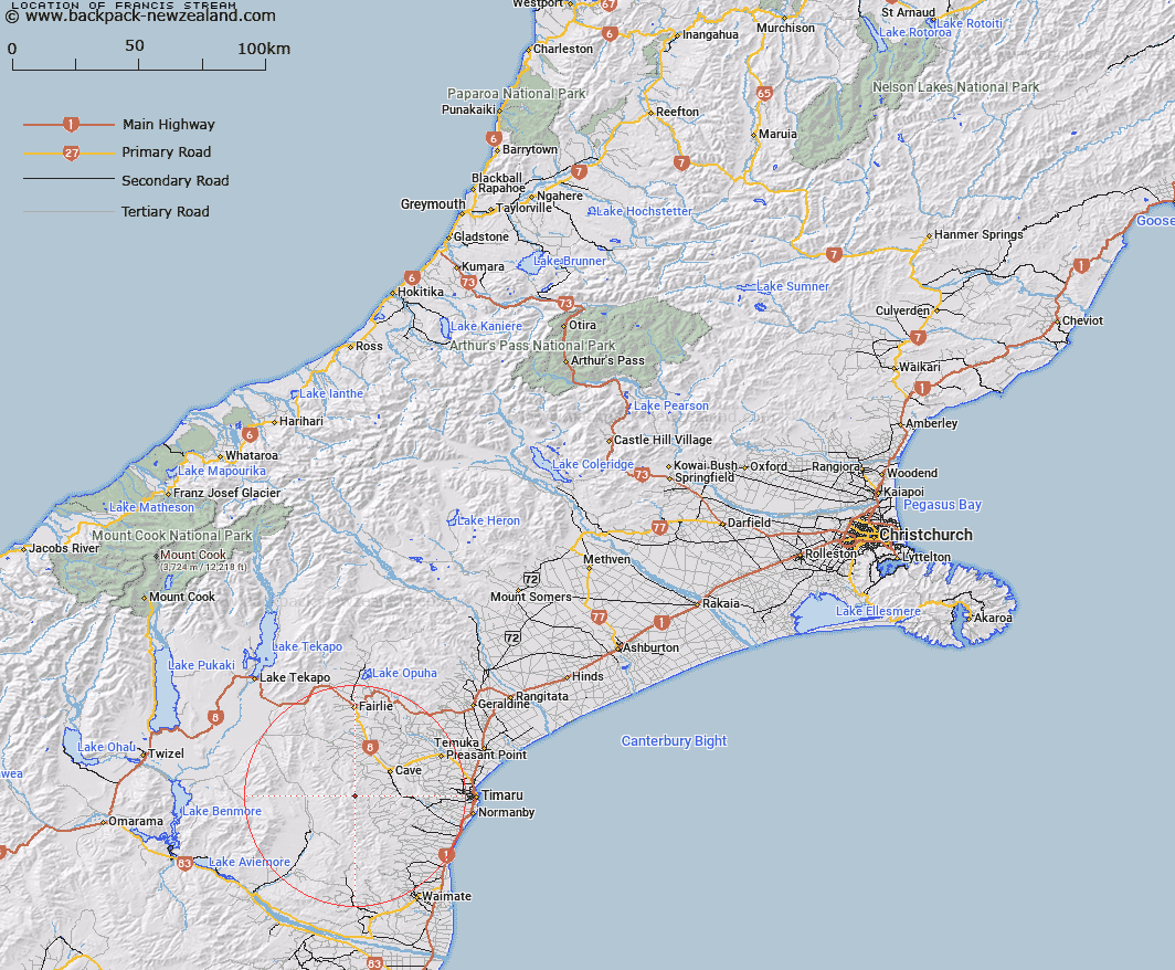
Map showing location of Francis Stream


LINZ description: Stream rising on the northern slopes of Mount Nimrod [Trig. N (Geodetic Code B6YK)], flowing northwards and joining Pareora River 1.3km South-east of Trig. A (Geodetic Code AAPW). Nimrod and Opawa Survey Districts.
Latitude: -44.39385
Longitude: 170.834065
Northing: 5082100
Easting: 1427500
Land District: Canterbury
Feat Type: Stream


Scroll down to see a more detailed road map and below that a topographical map showing the location of Francis Stream. The road map has been supplied by openstreetmap and the topographical map of Francis Stream has been supplied by Land Information New Zealand (LINZ).

Yes you can use the top static map for you school/university project or personal website with a link back. Contact me for any commercial use.

Francis Stream Map New Zealand


New Zealand places in our database
[ A ] [ B ] [ C ] [ D ] [ E ] [ F ] [ G ] [ H ] [ I ] [ J ] [ K ] [ L ] [ M ] [ N ] [ O ] [ P ] [ Q ] [ R ] [ S ] [ T ] [ U ] [ V ] [ W ] [ X ] [ Y ] [ Z ]


Closest 20 Streams to Francis Stream

Matson Stream ( 2.3km )   Mathias Stream ( 4.31km )   Nimrod Stream ( 4.63km )   White Rock River ( 4.72km )   Galway Stream ( 6.87km )   Cannington Stream ( 7.12km )   Motukaika River ( 7.94km )   Wyatt Stream ( 8.71km )   Maungati Stream ( 9.68km )   Coal Creek ( 10.19km )   Mawaro Creek ( 10.19km )   Elworthy Stream ( 10.28km )   Elder Stream ( 10.3km )   Blue Duck Stream ( 10.45km )   Anderson Stream ( 11.03km )   Pratt Stream ( 11.21km )   Burnett Stream ( 11.76km )   Nelson Stream ( 12.13km )   Opawa River ( 12.24km )   Two Legged Stream ( 12.25km )   Scour Stream ( 12.5km )   Nessing Stream ( 12.73km )   Two Mile Stream ( 13.23km )   Longden Stream ( 14.48km )   Massack Stream ( 14.53km )   Marsack Stream ( 14.53km )   Luscombe Stream ( 14.61km )   Gordons Stream ( 14.61km )   Peter Stream ( 14.7km )   Tengawai Flat Creek ( 14.85km )   MacGregor Stream ( 15.2km )   Pareora River ( 15.78km )   North Branch Waihao River ( 15.96km )   Tengawai River ( 16.03km )   Chamberlain Stream ( 16.2km )   Blainslie Stream ( 16.49km )   Rocky Gully River ( 16.67km )   Taiko Stream ( 16.89km )   South Branch Pareora River ( 16.99km )   Dunstan Stream ( 17.01km )