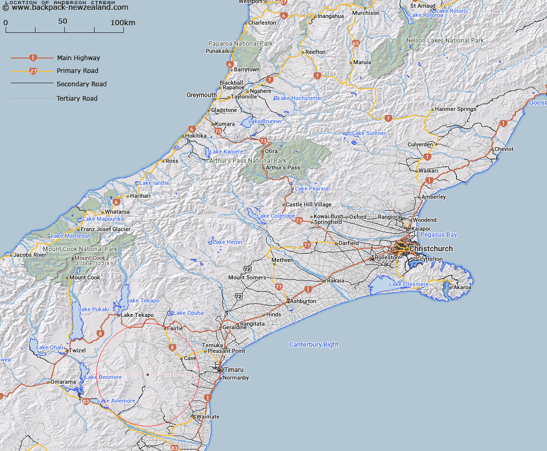
Map showing location of Anderson Stream


LINZ description: Stream rising on western slopes of Hunters Hills. Flows west into Scour Stream 1mile north of Hakou Downs Homestead. Has a 60ft waterfall. Map reference, S. 110/3047
Latitude: -44.42697
Longitude: 170.703126
Northing: 5078136.9
Easting: 1417174.8
Land District: Canterbury
Feat Type: Stream


Scroll down to see a more detailed road map and below that a topographical map showing the location of Anderson Stream. The road map has been supplied by openstreetmap and the topographical map of Anderson Stream has been supplied by Land Information New Zealand (LINZ).

Yes you can use the top static map for you school/university project or personal website with a link back. Contact me for any commercial use.

Anderson Stream Map New Zealand


New Zealand places in our database
[ A ] [ B ] [ C ] [ D ] [ E ] [ F ] [ G ] [ H ] [ I ] [ J ] [ K ] [ L ] [ M ] [ N ] [ O ] [ P ] [ Q ] [ R ] [ S ] [ T ] [ U ] [ V ] [ W ] [ X ] [ Y ] [ Z ]


Closest 20 Streams to Anderson Stream

Scour Stream ( 1.87km )   Two Mile Stream ( 2.73km )   Wyatt Stream ( 4.08km )   Two Legged Stream ( 4.39km )   Peter Stream ( 5.85km )   Gorman Stream ( 6.75km )   Dunstan Stream ( 6.81km )   MacGregor Stream ( 7.17km )   Nessing Stream ( 7.5km )   Longden Stream ( 7.54km )   Matson Stream ( 8.92km )   Morton Stream ( 9.43km )   Cattle Creek ( 9.73km )   Marsack Stream ( 10.99km )   Massack Stream ( 10.99km )   Francis Stream ( 11.03km )   Grampian Stream ( 11.19km )   Nimrod Stream ( 12km )   Motukaika River ( 12.27km )   North Branch Waihao River ( 12.72km )   Rocky Point Stream ( 12.99km )   Opawa River ( 13.13km )   White Rock River ( 14.16km )   Pringle Stream ( 15km )   Blue Duck Stream ( 15.31km )   Mathias Stream ( 15.32km )   Dalgety Stream ( 15.55km )   McKays Stream ( 16.22km )   Maungati Stream ( 17.25km )   Hakataramea River ( 17.39km )   Elder Stream ( 17.65km )   Hay Stream ( 17.66km )   Cannington Stream ( 17.76km )   Galway Stream ( 17.87km )   Poplar Stream ( 18.19km )   South Branch Pareora River ( 18.53km )   Coal Creek ( 18.55km )   Mawaro Creek ( 18.55km )   Kennaway Stream ( 18.91km )   Stony Creek ( 18.96km )