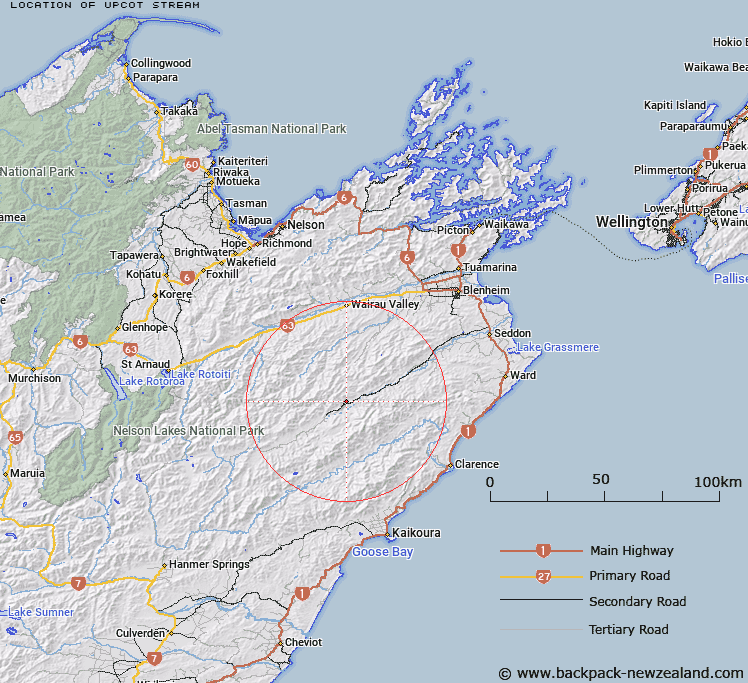
Map showing location of Upcot Stream
LINZ description: Left bank tributary of Awatere River rising on the southern slopes of Mount Elliot [Trig. 10 (Geodetic Code B14W)], flowing South-eastward, and joining Awatere River 2.8km North-east of Mount Upcot (Geodetic Code B7LD), and 4.2km downstream of Winterton River. Blocks III and IV Upcot Survey District and Block XVI Spray Survey District.
Latitude: -41.917358
Longitude: 173.528512
Northing: 5359264.3
Easting: 1643826.8
Land District: Marlborough
Feat Type: Stream
Latitude: -41.917358
Longitude: 173.528512
Northing: 5359264.3
Easting: 1643826.8
Land District: Marlborough
Feat Type: Stream

Scroll down to see a more detailed road map and below that a topographical map showing the location of Upcot Stream. The road map has been supplied by openstreetmap and the topographical map of Upcot Stream has been supplied by Land Information New Zealand (LINZ).
Yes you can use the top static map for you school/university project or personal website with a link back. Contact me for any commercial use.
[ A ] [ B ] [ C ] [ D ] [ E ] [ F ] [ G ] [ H ] [ I ] [ J ] [ K ] [ L ] [ M ] [ N ] [ O ] [ P ] [ Q ] [ R ] [ S ] [ T ] [ U ] [ V ] [ W ] [ X ] [ Y ] [ Z ]