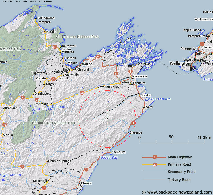
Map showing location of Gut Stream
LINZ description: Right bank tributary of Hodder River approximately 2km in length, rising 900m North-west of Pinnacle in the Inland Kaikoura Range, flowing north-westward and joining Hodder River 1.2km downstream of Staircase Stream. Block VI, Tapuaenuku Survey District.
Latitude: -41.974992
Longitude: 173.645151
Northing: 5352799.1
Easting: 1653450.9
Land District: Marlborough
Feat Type: Stream
Latitude: -41.974992
Longitude: 173.645151
Northing: 5352799.1
Easting: 1653450.9
Land District: Marlborough
Feat Type: Stream

Scroll down to see a more detailed road map and below that a topographical map showing the location of Gut Stream. The road map has been supplied by openstreetmap and the topographical map of Gut Stream has been supplied by Land Information New Zealand (LINZ).
Yes you can use the top static map for you school/university project or personal website with a link back. Contact me for any commercial use.
[ A ] [ B ] [ C ] [ D ] [ E ] [ F ] [ G ] [ H ] [ I ] [ J ] [ K ] [ L ] [ M ] [ N ] [ O ] [ P ] [ Q ] [ R ] [ S ] [ T ] [ U ] [ V ] [ W ] [ X ] [ Y ] [ Z ]