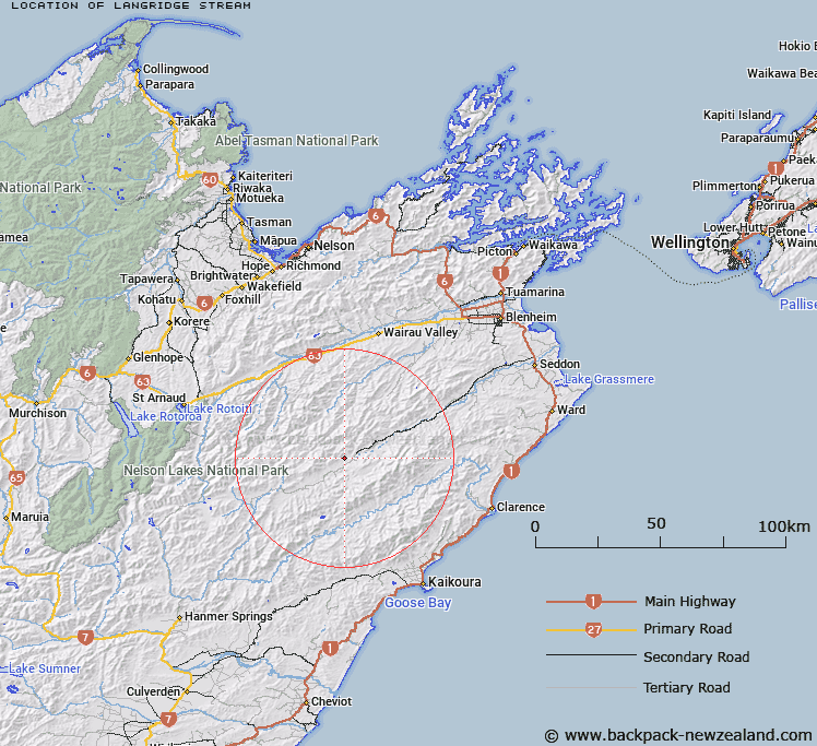
Map showing location of Langridge Stream


LINZ description: Leftt bank tributary of Awatere River rising 4km South-east of Shingle Peak [Trig. 32 (Geodetic Code 1173), flowing generally South-eastward and joining Awatere River 2km East of Langridge Homestead. Block VI, Upcot Survey District.
Latitude: -41.986762
Longitude: 173.408375
Northing: 5351613
Easting: 1633827.7
Land District: Marlborough
Feat Type: Stream


Scroll down to see a more detailed road map and below that a topographical map showing the location of Langridge Stream. The road map has been supplied by openstreetmap and the topographical map of Langridge Stream has been supplied by Land Information New Zealand (LINZ).

Yes you can use the top static map for you school/university project or personal website with a link back. Contact me for any commercial use.

Langridge Stream Map New Zealand


New Zealand places in our database
[ A ] [ B ] [ C ] [ D ] [ E ] [ F ] [ G ] [ H ] [ I ] [ J ] [ K ] [ L ] [ M ] [ N ] [ O ] [ P ] [ Q ] [ R ] [ S ] [ T ] [ U ] [ V ] [ W ] [ X ] [ Y ] [ Z ]


Closest 20 Streams to Langridge Stream

Ward Stream ( 2.43km )   Kennet River ( 4.73km )   Castle River ( 7.24km )   George River ( 8.11km )   Enchanted Stream ( 8.68km )   Middlehurst Stream ( 8.75km )   Weka Brook ( 9.17km )   Awatere-iti Stream ( 9.68km )   William Stream ( 9.92km )   Little Castle Stream ( 10.24km )   Thomas Stream ( 10.55km )   Winterton River ( 10.64km )   Lee Brook ( 10.77km )   Tame Stream ( 10.85km )   Dane River ( 10.86km )   Orr Stream ( 11.37km )   Spray River ( 11.63km )   Nesbit Stream ( 11.78km )   Upcot Stream ( 12.58km )   Stony Stream ( 12.63km )   Blue Mountain Stream ( 12.96km )   Gladstone Stream ( 13.16km )   Totara Stream ( 13.18km )   Smokey Stream ( 13.45km )   Bouldery Stream ( 13.67km )   Glazebrook Stream ( 13.83km )   Bluff River ( 14.21km )   Tone River ( 14.67km )   Pass Brook ( 14.82km )   Munroe Stream ( 14.87km )   Whare Stream ( 15.7km )   Otterson Stream ( 15.93km )   Burnt Country Creek ( 15.95km )   Waterfall Stream ( 16.27km )   Noisy Stream ( 16.73km )   House Creek ( 16.77km )   Molesworth Stream ( 17.33km )   Station Stream ( 17.66km )   Wildsheep Stream ( 18.01km )   Wild Pup Stream ( 18.31km )