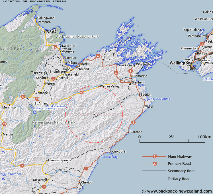
Map showing location of Enchanted Stream
LINZ description: Left bank tributary of Castle River rising from the northern end of the Junction Range, 2.75km North-west of Mount Elliot [Trig. 10 (Geodetic Code B14W)], flowing generally southward, and joining Castle River 5km upstream of Awatere River. Block III, Upcot Survey District and Block XV, Spray Survey District
Latitude: -41.9216
Longitude: 173.466235
Northing: 5358823.3
Easting: 1638659.9
Land District: Marlborough
Feat Type: Stream
Latitude: -41.9216
Longitude: 173.466235
Northing: 5358823.3
Easting: 1638659.9
Land District: Marlborough
Feat Type: Stream

Scroll down to see a more detailed road map and below that a topographical map showing the location of Enchanted Stream. The road map has been supplied by openstreetmap and the topographical map of Enchanted Stream has been supplied by Land Information New Zealand (LINZ).
Yes you can use the top static map for you school/university project or personal website with a link back. Contact me for any commercial use.
[ A ] [ B ] [ C ] [ D ] [ E ] [ F ] [ G ] [ H ] [ I ] [ J ] [ K ] [ L ] [ M ] [ N ] [ O ] [ P ] [ Q ] [ R ] [ S ] [ T ] [ U ] [ V ] [ W ] [ X ] [ Y ] [ Z ]