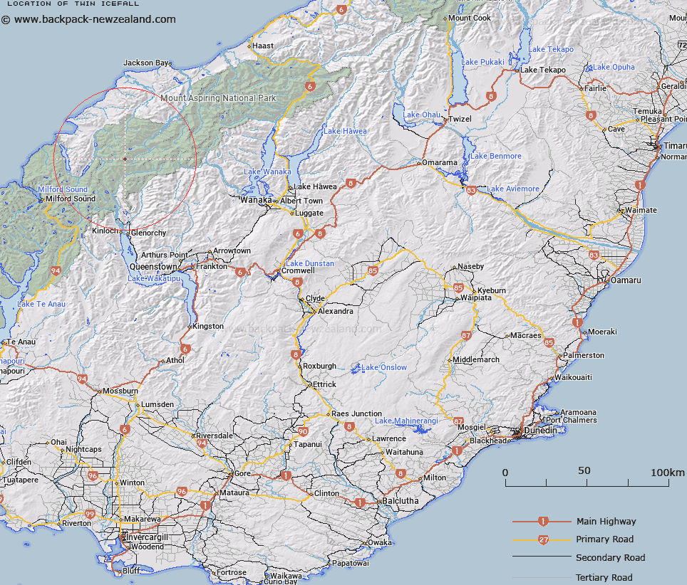
Map showing location of Twin Icefall
LINZ description: Glacier feeding the Joe River Glacier from the flanks of the Climax and Destiny Peaks, just south of the Olivine Ice Plateau.
Latitude: -44.461902
Longitude: 168.372791
Northing: 5066400
Easting: 1231900
Land District: Otago
Feat Type: Ice Feature
Latitude: -44.461902
Longitude: 168.372791
Northing: 5066400
Easting: 1231900
Land District: Otago
Feat Type: Ice Feature

Scroll down to see a more detailed road map and below that a topographical map showing the location of Twin Icefall. The road map has been supplied by openstreetmap and the topographical map of Twin Icefall has been supplied by Land Information New Zealand (LINZ).
Yes you can use the top static map for you school/university project or personal website with a link back. Contact me for any commercial use.
[ A ] [ B ] [ C ] [ D ] [ E ] [ F ] [ G ] [ H ] [ I ] [ J ] [ K ] [ L ] [ M ] [ N ] [ O ] [ P ] [ Q ] [ R ] [ S ] [ T ] [ U ] [ V ] [ W ] [ X ] [ Y ] [ Z ]