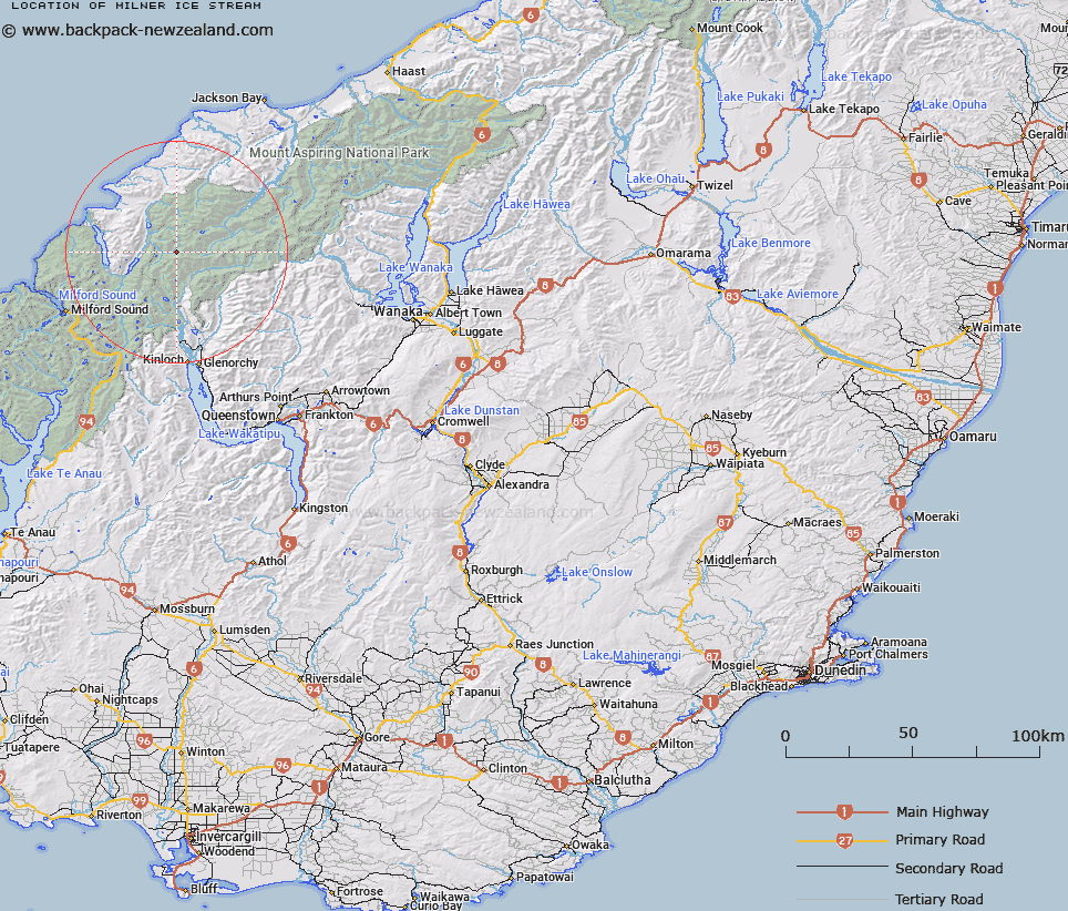
Map showing location of Milner Ice Stream
LINZ description: Ice stream falling into Forgotten River from Possibility Col in the Barrier Range.
Latitude: -44.477365
Longitude: 168.31126
Northing: 5064402.9
Easting: 1227103.6
Land District: Otago
Feat Type: Ice Feature
Latitude: -44.477365
Longitude: 168.31126
Northing: 5064402.9
Easting: 1227103.6
Land District: Otago
Feat Type: Ice Feature

Scroll down to see a more detailed road map and below that a topographical map showing the location of Milner Ice Stream. The road map has been supplied by openstreetmap and the topographical map of Milner Ice Stream has been supplied by Land Information New Zealand (LINZ).
Yes you can use the top static map for you school/university project or personal website with a link back. Contact me for any commercial use.
[ A ] [ B ] [ C ] [ D ] [ E ] [ F ] [ G ] [ H ] [ I ] [ J ] [ K ] [ L ] [ M ] [ N ] [ O ] [ P ] [ Q ] [ R ] [ S ] [ T ] [ U ] [ V ] [ W ] [ X ] [ Y ] [ Z ]