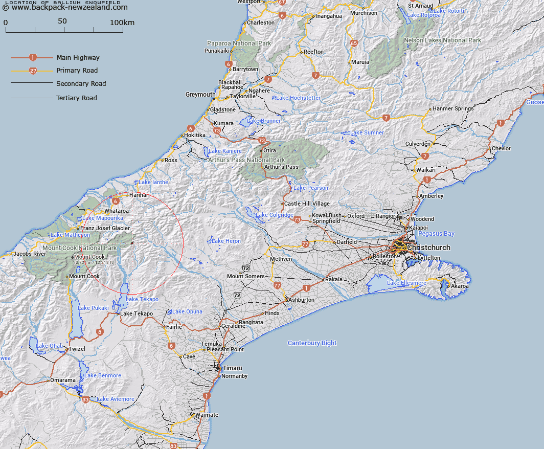
Map showing location of Ballium Snowfield
LINZ description: Snowfield on the western side of the northern Sibbald Range, between Mount Earle and Mount Forbes. Block IX Torlesse and Block III Godley Survey District.
Latitude: -43.490093
Longitude: 170.592003
Northing: 5181942.1
Easting: 1405292.1
Land District: Canterbury
Feat Type: Ice Feature
Latitude: -43.490093
Longitude: 170.592003
Northing: 5181942.1
Easting: 1405292.1
Land District: Canterbury
Feat Type: Ice Feature

Scroll down to see a more detailed road map and below that a topographical map showing the location of Ballium Snowfield. The road map has been supplied by openstreetmap and the topographical map of Ballium Snowfield has been supplied by Land Information New Zealand (LINZ).
Yes you can use the top static map for you school/university project or personal website with a link back. Contact me for any commercial use.
[ A ] [ B ] [ C ] [ D ] [ E ] [ F ] [ G ] [ H ] [ I ] [ J ] [ K ] [ L ] [ M ] [ N ] [ O ] [ P ] [ Q ] [ R ] [ S ] [ T ] [ U ] [ V ] [ W ] [ X ] [ Y ] [ Z ]