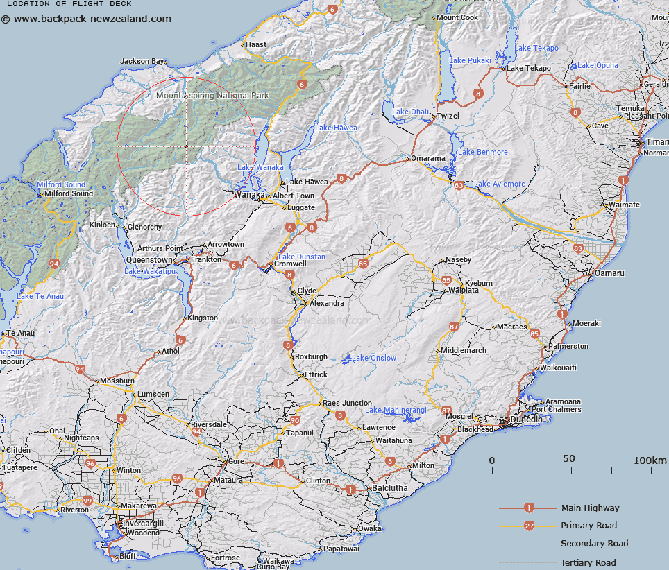
Map showing location of Flight Deck
LINZ description: Narrow neck of ice between Upper Bonar and Maud Francis Glaciers on the North-west face of Mount Avalanche. Matukituki Survey District.
Latitude: -44.418489
Longitude: 168.72778
Northing: 5072761.7
Easting: 1259888.6
Land District: Otago
Feat Type: Ice Feature
Latitude: -44.418489
Longitude: 168.72778
Northing: 5072761.7
Easting: 1259888.6
Land District: Otago
Feat Type: Ice Feature

Scroll down to see a more detailed road map and below that a topographical map showing the location of Flight Deck. The road map has been supplied by openstreetmap and the topographical map of Flight Deck has been supplied by Land Information New Zealand (LINZ).
Yes you can use the top static map for you school/university project or personal website with a link back. Contact me for any commercial use.
[ A ] [ B ] [ C ] [ D ] [ E ] [ F ] [ G ] [ H ] [ I ] [ J ] [ K ] [ L ] [ M ] [ N ] [ O ] [ P ] [ Q ] [ R ] [ S ] [ T ] [ U ] [ V ] [ W ] [ X ] [ Y ] [ Z ]