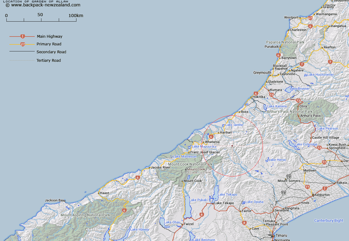
Map showing location of Garden of Allah
LINZ description: Icefield at the head of the Adams River, between the Beelzebub and Lambert Glaciers. Blocks III and IV Tyndall Survey District.
Latitude: -43.307251
Longitude: 170.727246
Northing: 5202556.3
Easting: 1415674.3
Land District: Westland
Feat Type: Ice Feature
Latitude: -43.307251
Longitude: 170.727246
Northing: 5202556.3
Easting: 1415674.3
Land District: Westland
Feat Type: Ice Feature

Scroll down to see a more detailed road map and below that a topographical map showing the location of Garden of Allah. The road map has been supplied by openstreetmap and the topographical map of Garden of Allah has been supplied by Land Information New Zealand (LINZ).
Yes you can use the top static map for you school/university project or personal website with a link back. Contact me for any commercial use.
[ A ] [ B ] [ C ] [ D ] [ E ] [ F ] [ G ] [ H ] [ I ] [ J ] [ K ] [ L ] [ M ] [ N ] [ O ] [ P ] [ Q ] [ R ] [ S ] [ T ] [ U ] [ V ] [ W ] [ X ] [ Y ] [ Z ]