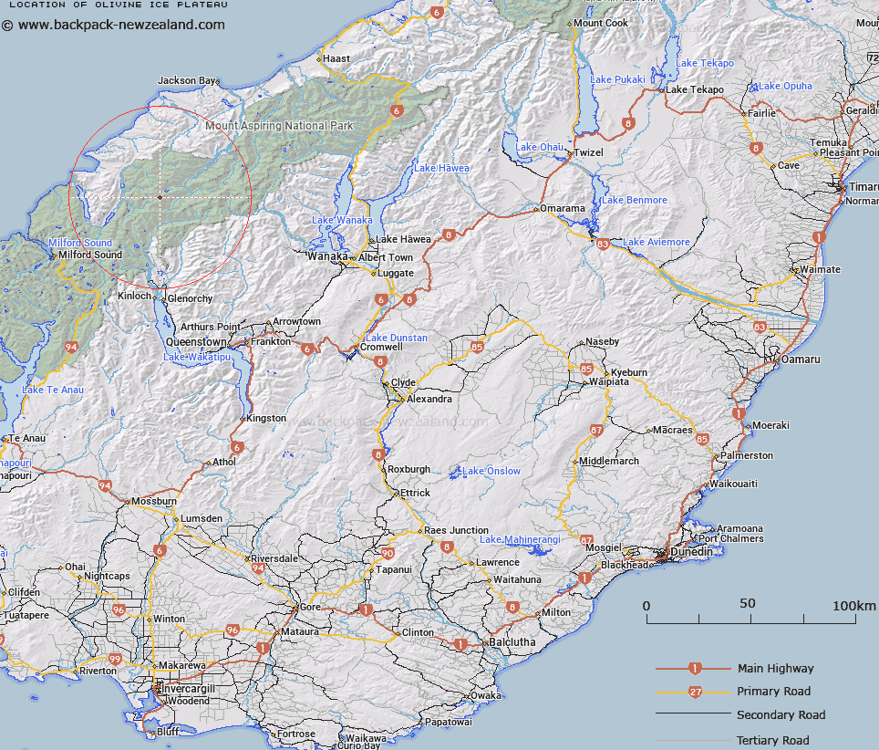
Map showing location of Olivine Ice Plateau
LINZ description: The feature may have been crevasseless in 1938, but this is no longer true
Latitude: -44.437588
Longitude: 168.37306
Northing: 5069102.1
Easting: 1231768.3
Land District: Otago
Feat Type: Ice Feature
Latitude: -44.437588
Longitude: 168.37306
Northing: 5069102.1
Easting: 1231768.3
Land District: Otago
Feat Type: Ice Feature

Scroll down to see a more detailed road map and below that a topographical map showing the location of Olivine Ice Plateau. The road map has been supplied by openstreetmap and the topographical map of Olivine Ice Plateau has been supplied by Land Information New Zealand (LINZ).
Yes you can use the top static map for you school/university project or personal website with a link back. Contact me for any commercial use.
[ A ] [ B ] [ C ] [ D ] [ E ] [ F ] [ G ] [ H ] [ I ] [ J ] [ K ] [ L ] [ M ] [ N ] [ O ] [ P ] [ Q ] [ R ] [ S ] [ T ] [ U ] [ V ] [ W ] [ X ] [ Y ] [ Z ]