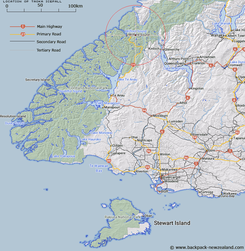
Map showing location of Taoka Icefall
LINZ description: Glacier under Mt Patuki and Karetai Peak, Central Darran Mountains, east of Milford Sound, flowing into Donne River.
Latitude: -44.671755
Longitude: 168.033129
Northing: 5041500
Easting: 1206300
Land District: Southland
Feat Type: Ice Feature
Latitude: -44.671755
Longitude: 168.033129
Northing: 5041500
Easting: 1206300
Land District: Southland
Feat Type: Ice Feature

Scroll down to see a more detailed road map and below that a topographical map showing the location of Taoka Icefall. The road map has been supplied by openstreetmap and the topographical map of Taoka Icefall has been supplied by Land Information New Zealand (LINZ).
Yes you can use the top static map for you school/university project or personal website with a link back. Contact me for any commercial use.
[ A ] [ B ] [ C ] [ D ] [ E ] [ F ] [ G ] [ H ] [ I ] [ J ] [ K ] [ L ] [ M ] [ N ] [ O ] [ P ] [ Q ] [ R ] [ S ] [ T ] [ U ] [ V ] [ W ] [ X ] [ Y ] [ Z ]