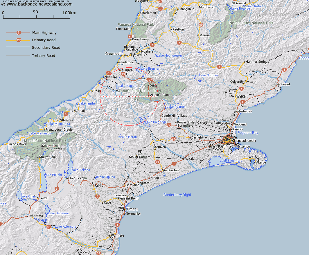
Map showing location of Retreat Snowfield
LINZ description: Snowfield at the head of the Hall, Farquharson, and Gifford Glaciers at the western end of the Marshall Ridge in the Southern Alps/Kā Tiritiri o te Moana.
Latitude: -42.962991
Longitude: 171.304277
Northing: 5241900
Easting: 1461700
Land District: Canterbury
Feat Type: Ice Feature
Latitude: -42.962991
Longitude: 171.304277
Northing: 5241900
Easting: 1461700
Land District: Canterbury
Feat Type: Ice Feature

Scroll down to see a more detailed road map and below that a topographical map showing the location of Retreat Snowfield. The road map has been supplied by openstreetmap and the topographical map of Retreat Snowfield has been supplied by Land Information New Zealand (LINZ).
Yes you can use the top static map for you school/university project or personal website with a link back. Contact me for any commercial use.
[ A ] [ B ] [ C ] [ D ] [ E ] [ F ] [ G ] [ H ] [ I ] [ J ] [ K ] [ L ] [ M ] [ N ] [ O ] [ P ] [ Q ] [ R ] [ S ] [ T ] [ U ] [ V ] [ W ] [ X ] [ Y ] [ Z ]