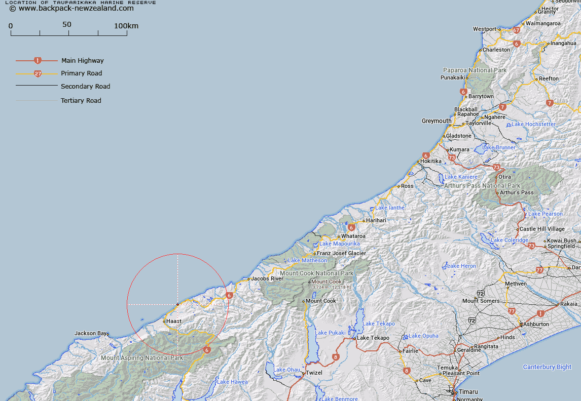
Map showing location of Tauparikākā Marine Reserve
LINZ description: Adjacent to the recently created Tauparikākā Mātaitai. The area comprising 16.6200 hectares shown marked “A” and “B” on SO Plan 475890.
Latitude: -43.75694
Longitude: 169.145776
Northing: 5147899.6
Easting: 1289721.9
Land District: Westland
Feat Type: Marine Reserve
Latitude: -43.75694
Longitude: 169.145776
Northing: 5147899.6
Easting: 1289721.9
Land District: Westland
Feat Type: Marine Reserve

Scroll down to see a more detailed road map and below that a topographical map showing the location of Tauparikākā Marine Reserve. The road map has been supplied by openstreetmap and the topographical map of Tauparikākā Marine Reserve has been supplied by Land Information New Zealand (LINZ).
Yes you can use the top static map for you school/university project or personal website with a link back. Contact me for any commercial use.
[ A ] [ B ] [ C ] [ D ] [ E ] [ F ] [ G ] [ H ] [ I ] [ J ] [ K ] [ L ] [ M ] [ N ] [ O ] [ P ] [ Q ] [ R ] [ S ] [ T ] [ U ] [ V ] [ W ] [ X ] [ Y ] [ Z ]