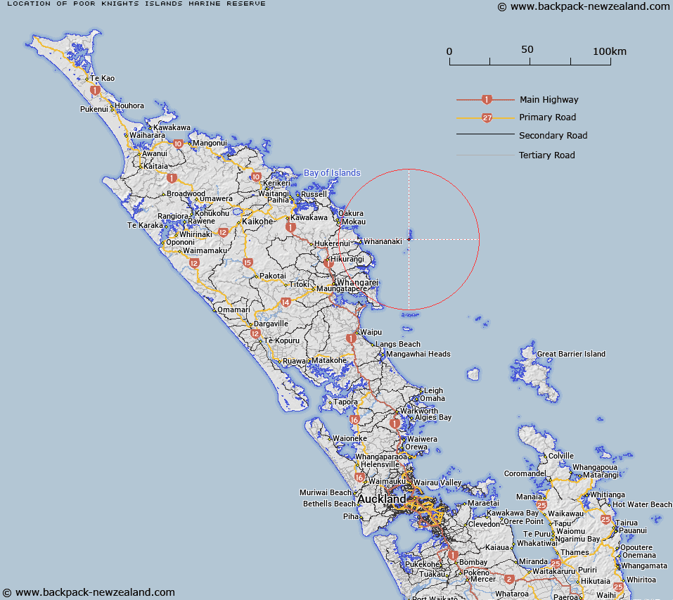
Map showing location of Poor Knights Islands Marine Reserve


LINZ description: The Poor Knights Islands are the remains of a group of ancient volcanoes. Beneath the waves these volcanoes have been hollowed and shaped by the ocean into a web of caves, tunnels and cliffs which Jacques Cousteau rated as one of the top ten dives in the world. Because of their incredible form and biodiversity, the sea surrounding the islands has been a marine reserve since 1981. It extends to 800 m around the islands. The Poor Knights Islands are located 22 km off the east coast of Northland.
Latitude: -35.494167
Longitude: 174.732222
Northing: 6070774.2
Easting: 1757119.8
Land District: North Auckland
Feat Type: Marine Reserve


Scroll down to see a more detailed road map and below that a topographical map showing the location of Poor Knights Islands Marine Reserve. The road map has been supplied by openstreetmap and the topographical map of Poor Knights Islands Marine Reserve has been supplied by Land Information New Zealand (LINZ).

Yes you can use the top static map for you school/university project or personal website with a link back. Contact me for any commercial use.

Poor Knights Islands Marine Reserve Map New Zealand


New Zealand places in our database
[ A ] [ B ] [ C ] [ D ] [ E ] [ F ] [ G ] [ H ] [ I ] [ J ] [ K ] [ L ] [ M ] [ N ] [ O ] [ P ] [ Q ] [ R ] [ S ] [ T ] [ U ] [ V ] [ W ] [ X ] [ Y ] [ Z ]


Closest 20 Marine Reserves to Poor Knights Islands Marine Reserve

Whangarei Harbour Marine Reserve ( 43.82km )   Cape Rodney-Okakari Point Marine Reserve ( 85.9km )   T?wharanui Marine Reserve ( 97.04km )   Long Bay-Okura Marine Reserve ( 130.91km )   Motu Manawa-Pollen Island Marine Reserve ( 152.18km )   Te Matuku Marine Reserve ( 152.41km )   Whanganui A Hei (Cathedral Cove) Marine Reserve ( 175.29km )   Tuhua (Mayor Island) Marine Reserve ( 239.45km )   Te Paepae o Aotea (Volkner Rocks) Marine Reserve ( 307.61km )   Parininihi Marine Reserve ( 375.11km )   Tapuae Marine Reserve ( 403.44km )   Te Tapuwae o Rongokako Marine Reserve ( 464.13km )   Te Angiangi Marine Reserve ( 550.97km )   Kapiti Marine Reserve ( 596.56km )   Westhaven (Te Tai Tapu) Marine Reserve ( 601.28km )   Tonga Island Marine Reserve ( 616.28km )   Long Island - Kokomohua Marine Reserve ( 626.12km )   Horoirangi Marine Reserve ( 641.29km )   Taputeranga Marine Reserve ( 651.86km )   Kahurangi Marine Reserve ( 653.19km )   Hikurangi Marine Reserve ( 781.83km )   Punakaiki Marine Reserve ( 795.11km )   Pohatu Marine Reserve ( 943.55km )   Akaroa Marine Reserve ( 944.73km )   Waiau Glacier Coast Marine Reserve ( 950.97km )   Tauparik?k? Marine Reserve ( 1035.27km )   Hautai Marine Reserve ( 1121.64km )   Piopiotahi (Milford Sound) Marine Reserve ( 1170km )   Te Hapua (Sutherland Sound) Marine Reserve ( 1193.77km )   Hawea (Clio Rocks) Marine Reserve ( 1202.89km )   Kahukura (Gold Arm) Marine Reserve ( 1248.29km )   Kutu Parera (Gaer Arm) Marine Reserve ( 1263.98km )   Te Awaatu Channel (The Gut) Marine Reserve ( 1272.35km )   Taipari Roa (Elizabeth Island) Marine Reserve ( 1277.11km )   Moana Uta (West Jacket Arm) Marine Reserve ( 1309.39km )   Taumoana (Five Finger Peninsula) Marine Reserve ( 1327.14km )   Te Tapuwae o Hua (Long Sound) Marine Reserve ( 1344.55km )   Ulva Island - Te Wharawhara Marine Reserve ( 1386.88km )