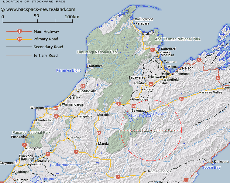
Map showing location of Stockyard Face


LINZ description: Hill face on the eastern side of the Wairau River, 1km North-east of the Wairau and Rainbow Rivers junction. Block IV Rainbow Survey District.
Latitude: -42.021643
Longitude: 172.907927
Northing: 5347816.7
Easting: 1592377.3
Land District: Nelson
Feat Type: Hill


Scroll down to see a more detailed road map and below that a topographical map showing the location of Stockyard Face. The road map has been supplied by openstreetmap and the topographical map of Stockyard Face has been supplied by Land Information New Zealand (LINZ).

Yes you can use the top static map for you school/university project or personal website with a link back. Contact me for any commercial use.

Stockyard Face Map New Zealand


New Zealand places in our database
[ A ] [ B ] [ C ] [ D ] [ E ] [ F ] [ G ] [ H ] [ I ] [ J ] [ K ] [ L ] [ M ] [ N ] [ O ] [ P ] [ Q ] [ R ] [ S ] [ T ] [ U ] [ V ] [ W ] [ X ] [ Y ] [ Z ]


Closest 20 Hills to Stockyard Face

Mount Cashel ( 2.33km )   Spaniard Face ( 3.93km )   Elise Peak ( 4.32km )   Turk Mountain ( 5.82km )   Mount Chittenden ( 7.36km )   Mount Weld ( 9.54km )   Cotterell Peak ( 10km )   The Camel ( 10.56km )   Mount Iris ( 11.66km )   Kehu Peak ( 12.71km )   Peanter Peak ( 14.09km )   Mount Travers ( 14.31km )   Alma Peak ( 14.49km )   Severn ( 14.56km )   Alma Heights ( 14.81km )   Mount Tarndale ( 15.53km )   Mount Paske ( 15.64km )   Mount Cupola ( 16.06km )   Mount McKay ( 16.15km )   Mount Hopeless ( 16.16km )   Mount McRae ( 16.36km )   Mount Augarde ( 17.26km )   Mount Balaclava ( 17.8km )   Belvedere Peak ( 17.93km )   Mount Franklin ( 18.49km )   Maniniaro / Angelus Peak ( 18.57km )   Angelus Peak ( 18.57km )   Mount Dora ( 19.67km )   Mitre Peak ( 19.8km )   Windward Peak ( 20.45km )   Mount Guinevere ( 20.46km )   Saxton ( 20.65km )   Julius Peak ( 20.69km )   Mount Maling ( 21.24km )   Flagtop ( 21.38km )   Mount Cedric ( 21.5km )   Crystal Peak ( 21.78km )   Mount Misery ( 22.11km )   Pourangahau / Mount Robert ( 22.52km )   Mount Robert ( 22.52km )