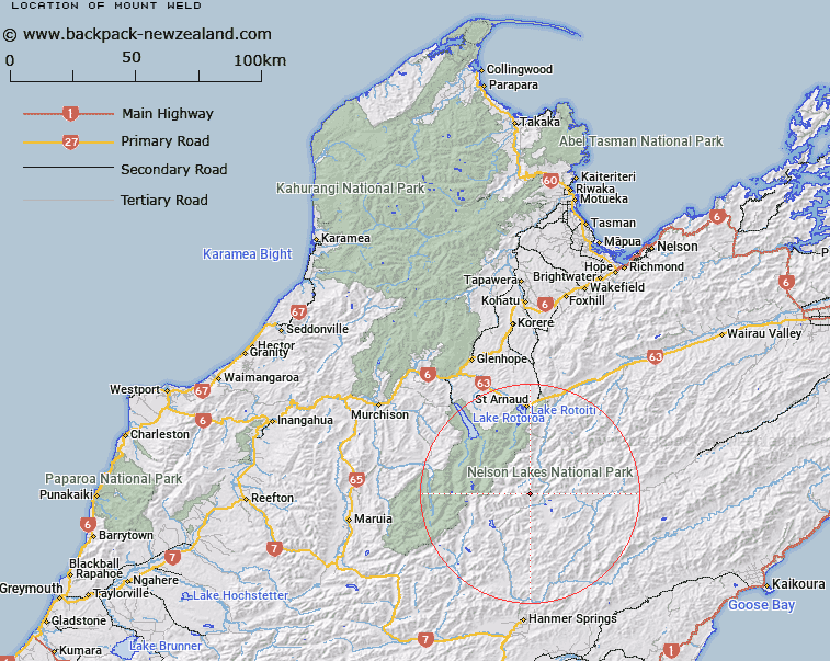
Map showing location of Mount Weld


LINZ description: Peak (2114m) on Turk Ridge 4km East of Mount Iris. Block XI Rainbow Survey District.
Latitude: -42.098063
Longitude: 172.855436
Northing: 5339325.7
Easting: 1588046
Land District: Nelson
Feat Type: Hill


Scroll down to see a more detailed road map and below that a topographical map showing the location of Mount Weld. The road map has been supplied by openstreetmap and the topographical map of Mount Weld has been supplied by Land Information New Zealand (LINZ).

Yes you can use the top static map for you school/university project or personal website with a link back. Contact me for any commercial use.

Mount Weld Map New Zealand


New Zealand places in our database
[ A ] [ B ] [ C ] [ D ] [ E ] [ F ] [ G ] [ H ] [ I ] [ J ] [ K ] [ L ] [ M ] [ N ] [ O ] [ P ] [ Q ] [ R ] [ S ] [ T ] [ U ] [ V ] [ W ] [ X ] [ Y ] [ Z ]


Closest 20 Hills to Mount Weld

Mount Iris ( 3.91km )   Turk Mountain ( 4.19km )   Mount Tarndale ( 7.51km )   Mount Cashel ( 8.62km )   Mount Balaclava ( 8.66km )   Mount Paske ( 9.42km )   Stockyard Face ( 9.54km )   Mount Chittenden ( 10.35km )   Alma Peak ( 10.69km )   Kehu Peak ( 10.85km )   Mount McKay ( 10.99km )   Belvedere Peak ( 11.11km )   Alma Heights ( 11.23km )   Mount Dora ( 11.5km )   Spaniard Face ( 11.93km )   Mount Maling ( 12km )   Mount Guinevere ( 12.2km )   Mitre Peak ( 12.41km )   Crystal Peak ( 12.82km )   Cotterell Peak ( 12.89km )   Mount Travers ( 13.68km )   Elise Peak ( 13.75km )   Southey Mount ( 13.79km )   Mount Franklin ( 14.78km )   Mount McCabe ( 16.11km )   Mount Princess ( 16.31km )   The Camel ( 16.32km )   Mount Sebastopol ( 16.72km )   Mount Cupola ( 16.83km )   Severn ( 17.55km )   Mount Augarde ( 17.82km )   Elder ( 18.03km )   Mount Mahanga ( 18.16km )   Mount Hopeless ( 19.25km )   Windward Peak ( 19.26km )   Black Serpent ( 19.26km )   Mount Kruse ( 20.47km )   Spenser Range ( 21.11km )   Spenser Mountains ( 21.11km )   Peanter Peak ( 21.26km )