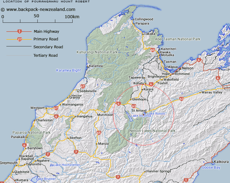
Map showing location of Pourangahau / Mount Robert
LINZ description: A hill at 1421 m adjacent to Lake Rotoiti on Robert Ridge approximately 4.5 km southwest of St Arnaud. Feature shown on: NZMS260 N29 Edition 1 1984 Limited Revision 1996; NZTopo50-BS24 843688.
Latitude: -41.832333
Longitude: 172.811222
Northing: 5368822.1
Easting: 1584324.9
Land District: Nelson
Feat Type: Hill
Latitude: -41.832333
Longitude: 172.811222
Northing: 5368822.1
Easting: 1584324.9
Land District: Nelson
Feat Type: Hill

Scroll down to see a more detailed road map and below that a topographical map showing the location of Pourangahau / Mount Robert. The road map has been supplied by openstreetmap and the topographical map of Pourangahau / Mount Robert has been supplied by Land Information New Zealand (LINZ).
Yes you can use the top static map for you school/university project or personal website with a link back. Contact me for any commercial use.
[ A ] [ B ] [ C ] [ D ] [ E ] [ F ] [ G ] [ H ] [ I ] [ J ] [ K ] [ L ] [ M ] [ N ] [ O ] [ P ] [ Q ] [ R ] [ S ] [ T ] [ U ] [ V ] [ W ] [ X ] [ Y ] [ Z ]