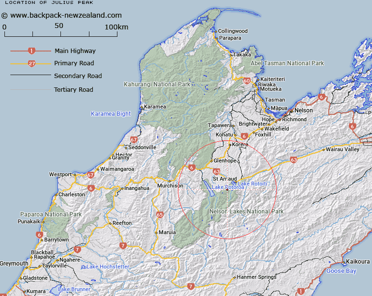
Map showing location of Julius Peak


LINZ description: Rounded knoll on Travers Range, at the point where the range turns to the East, 3.5km North-east of Lake Angelus.
Latitude: -41.863932
Longitude: 172.775245
Northing: 5365306.7
Easting: 1581346.7
Land District: Nelson
Feat Type: Hill


Scroll down to see a more detailed road map and below that a topographical map showing the location of Julius Peak. The road map has been supplied by openstreetmap and the topographical map of Julius Peak has been supplied by Land Information New Zealand (LINZ).

Yes you can use the top static map for you school/university project or personal website with a link back. Contact me for any commercial use.

Julius Peak Map New Zealand


New Zealand places in our database
[ A ] [ B ] [ C ] [ D ] [ E ] [ F ] [ G ] [ H ] [ I ] [ J ] [ K ] [ L ] [ M ] [ N ] [ O ] [ P ] [ Q ] [ R ] [ S ] [ T ] [ U ] [ V ] [ W ] [ X ] [ Y ] [ Z ]


Closest 20 Hills to Julius Peak

Flagtop ( 1.59km )   Pourangahau / Mount Robert ( 4.61km )   Mount Robert ( 4.61km )   Maniniaro / Angelus Peak ( 5.51km )   Angelus Peak ( 5.51km )   Mount McRae ( 6.17km )   Mount Cedric ( 6.4km )   Peanter Peak ( 6.86km )   Black Hill ( 8.91km )   Mount Hopeless ( 9.79km )   The Camel ( 10.62km )   Mount Misery ( 11.81km )   Mount Hutton ( 13.54km )   Playfair ( 13.84km )   Mount Cupola ( 14.21km )   Cotterell Peak ( 14.28km )   Mount Pickering ( 15.86km )   Mount Chittenden ( 16.52km )   Spaniard Face ( 16.76km )   Mount Travers ( 16.96km )   Porika Knob ( 17.45km )   Elise Peak ( 17.84km )   Windward Peak ( 17.92km )   Mount Cotton ( 19.08km )   Kehu Peak ( 19.1km )   Twins ( 19.48km )   Beebys Knob ( 19.5km )   Mount Cashel ( 19.65km )   Mole Tops ( 20.07km )   Stockyard Face ( 20.69km )   Three Peaks ( 21.61km )   Mount Franklin ( 22.08km )   Burnt Spur ( 22.26km )   Mount Baring ( 22.46km )   Mount Watson ( 23.04km )   Scotts Knob ( 23.16km )   Mount McKay ( 23.8km )   Kerr Hill ( 24.9km )   Turk Mountain ( 25.19km )   Mount Paske ( 25.22km )