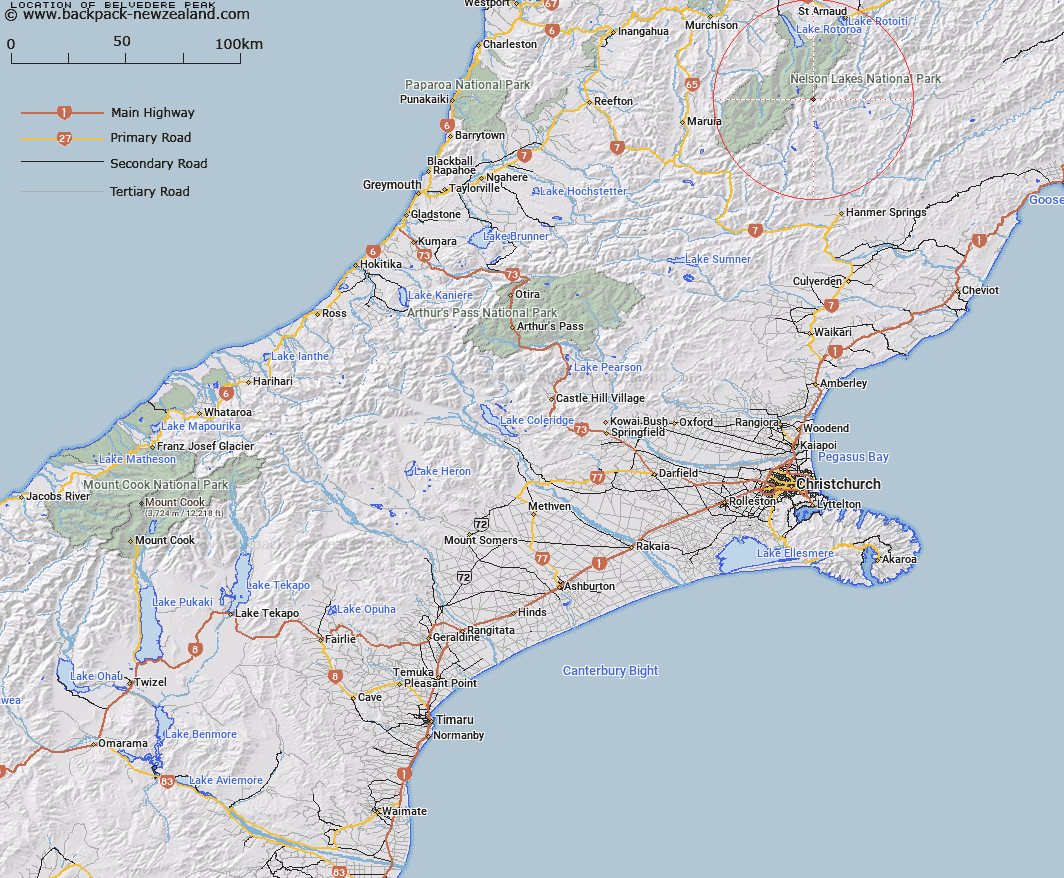
Map showing location of Belvedere Peak
LINZ description: Rainbow, Sabine, and Block IV in Humboldt. On Saint Arnaud Range at the junction of the Canterbury and Nelson Land Districts, approximately 7 miles north of Lake Tennyson at the head of the Clarence River. Topo. Station Z. 6,916 ft
Latitude: -42.103585
Longitude: 172.720923
Northing: 5338685.1
Easting: 1576925
Land District: Canterbury, Nelson
Feat Type: Hill
Latitude: -42.103585
Longitude: 172.720923
Northing: 5338685.1
Easting: 1576925
Land District: Canterbury, Nelson
Feat Type: Hill

Scroll down to see a more detailed road map and below that a topographical map showing the location of Belvedere Peak. The road map has been supplied by openstreetmap and the topographical map of Belvedere Peak has been supplied by Land Information New Zealand (LINZ).
Yes you can use the top static map for you school/university project or personal website with a link back. Contact me for any commercial use.
[ A ] [ B ] [ C ] [ D ] [ E ] [ F ] [ G ] [ H ] [ I ] [ J ] [ K ] [ L ] [ M ] [ N ] [ O ] [ P ] [ Q ] [ R ] [ S ] [ T ] [ U ] [ V ] [ W ] [ X ] [ Y ] [ Z ]