Map showing location of Raven


LINZ description: At 317m height Geodetic code A7DC between the Warea River and the Waitototoa Stream.
Latitude: -39.272369
Longitude: 173.913522
Northing: 5652600
Easting: 1678800
Land District: Taranaki
Feat Type: Trig Station


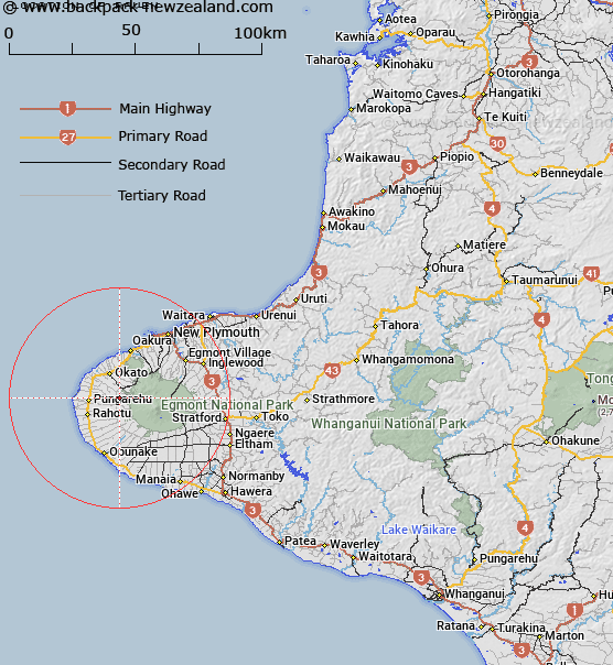
Scroll down to see a more detailed road map and below that a topographical map showing the location of Raven. The road map has been supplied by openstreetmap and the topographical map of Raven has been supplied by Land Information New Zealand (LINZ).

Yes you can use the top static map for you school/university project or personal website with a link back. Contact me for any commercial use.

Raven Map New Zealand


New Zealand places in our database
[ A ] [ B ] [ C ] [ D ] [ E ] [ F ] [ G ] [ H ] [ I ] [ J ] [ K ] [ L ] [ M ] [ N ] [ O ] [ P ] [ Q ] [ R ] [ S ] [ T ] [ U ] [ V ] [ W ] [ X ] [ Y ] [ Z ]


Closest 20 Trig Stations to Raven

Patuha ( 13.16km )   Beehives ( 14.45km )   Clement ( 15.04km )   Awatuna ( 21.22km )   Waimate ( 39.57km )   Karimoi ( 39.57km )   Araukuku ( 41.03km )   Onaero ( 49.16km )   Onaeroa ( 49.16km )   Mangamaeho ( 59.28km )   Mangamaio ( 59.28km )   Urekawa ( 70.42km )   Putahi ( 73.66km )   Weraroa ( 92.4km )   Papaumu ( 100.77km )   Mount Misery ( 109.57km )   Hepipi ( 133.48km )   Heipipi ( 133.48km )   Parikawau ( 143.08km )   Mangamahu ( 144.77km )   Te Whauotemarama ( 154.38km )   Parawanui ( 160.64km )   Parewanui ( 160.64km )   Tihiroa ( 168.88km )   Tiheroa ( 168.88km )   Pouraika ( 170.04km )   Ligars ( 170.04km )   Motuoapa ( 172.61km )   Thunderbolt ( 176.27km )   Oruarongo ( 177.72km )   Mauiui ( 178.48km )   Tawake Tohunga ( 187.45km )   Tauwheketewhango ( 187.45km )   Tawai-Tohunga ( 187.45km )   Tawheketewhango ( 187.45km )   Tutaengarahu ( 192.56km )   Tutaengarahi ( 192.56km )   Tuteremoana ( 194.86km )   Mangaweka ( 195.85km )   Kawhatau ( 195.85km )