Map showing location of Clement
LINZ description:
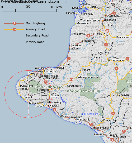
Located approximately 10km north-east of Opunake (locality), near Egmont National Park.
Latitude: -39.403583
Longitude: 173.955882
Northing: 5638000
Easting: 1682300
Land District: Taranaki
Feat Type: Trig Station
Latitude: -39.403583
Longitude: 173.955882
Northing: 5638000
Easting: 1682300
Land District: Taranaki
Feat Type: Trig Station

Scroll down to see a more detailed road map and below that a topographical map showing the location of Clement. The road map has been supplied by openstreetmap and the topographical map of Clement has been supplied by Land Information New Zealand (LINZ).
Yes you can use the top static map for you school/university project or personal website with a link back. Contact me for any commercial use.
[ A ] [ B ] [ C ] [ D ] [ E ] [ F ] [ G ] [ H ] [ I ] [ J ] [ K ] [ L ] [ M ] [ N ] [ O ] [ P ] [ Q ] [ R ] [ S ] [ T ] [ U ] [ V ] [ W ] [ X ] [ Y ] [ Z ]